Heavy Gulf Coast Rainfall Threatens Multiple States With Flooding Risk — Mississippi, Alabama, and Louisiana Brace for 5+ Inches of Rain
GULF COAST, U.S. — A powerful storm system is expected to unleash days of heavy rainfall across the Gulf Coast region, with Mississippi, Alabama, and Louisiana facing the highest flood threat as forecasts predict up to 5.5 inches of rain in some areas.
Meteorologists are warning residents to prepare for potential localized flooding, particularly in low-lying neighborhoods and areas prone to poor drainage. Rain is expected to begin late Friday and persist through most of the upcoming week, bringing continuous downpours and unstable conditions across much of the southern U.S.
Widespread Rainfall and Flooding Potential
Forecast models show a large swath of deep moisture stretching across the Gulf states, with red and orange zones on weather maps indicating the heaviest rainfall totals — between 3 and 5.5 inches — concentrated over southern Mississippi, southeast Louisiana, and western Alabama.
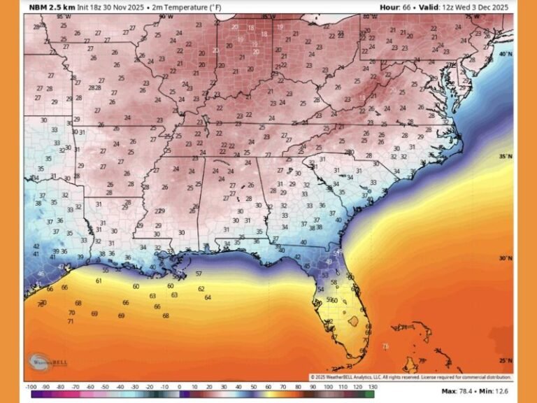
The WeatherBell Analytics model projects that this system will remain nearly stationary for several days, allowing rain bands to repeatedly sweep across the same regions. This “training effect” significantly increases the likelihood of flash flooding, especially where soil saturation is already high.
Meanwhile, areas across Arkansas, Georgia, and the Carolinas could see lighter rainfall amounts, ranging between 1 and 3 inches, though brief heavy bursts are still possible as the system shifts eastward.
Residents Warned to Prepare for Prolonged Impact
Forecasters are urging residents across the Gulf Coast to monitor local advisories and avoid flooded roadways, as flash flooding can develop quickly. Officials emphasize that even 6 inches of moving water can sweep vehicles off the road.
Local emergency management offices across Mississippi and Louisiana are advising homeowners to secure outdoor property and check drainage systems to minimize water accumulation.
“This is not a one-day rain event — it’s a slow-moving system that will soak the Gulf states for nearly a week,” meteorologist reports noted. “Residents should plan for multiple rounds of heavy rain and be prepared for possible flash flood warnings.”
Southern States Face Saturated Conditions
Communities across southern Mississippi and coastal Louisiana are still recovering from prior rain events that left soils saturated and waterways swollen. This new storm system, coupled with gusty winds and isolated thunderstorms, could exacerbate runoff and increase the threat of river flooding.
The forecast map also shows significant rainfall accumulation along the I-10 corridor, which could impact travel and create hazardous driving conditions through much of the week.
Florida and Georgia See Lighter Impacts
While Florida will remain mostly on the southern edge of the system, northern parts of the state could still experience steady drizzle and scattered storms. Farther north, Georgia and South Carolina are forecast to receive 1–2 inches of rain, posing minimal flood risk compared to the central Gulf states.
Safety and Preparedness
Residents across the Gulf Coast are encouraged to:
- Keep flashlights, water, and emergency supplies ready in case of power outages.
- Avoid driving through flooded streets or standing water.
- Stay tuned to local weather alerts for updates on possible flood watches or warnings.
Although the tone of early forecasts mixed humor with urgency, meteorologists agree that the situation should be taken seriously. The next seven days will likely bring significant rainfall totals and localized flooding hazards across the entire Gulf region.
Stay updated with continuing coverage and safety alerts from SaludaStandard-Sentinel.com as this weather system develops.


