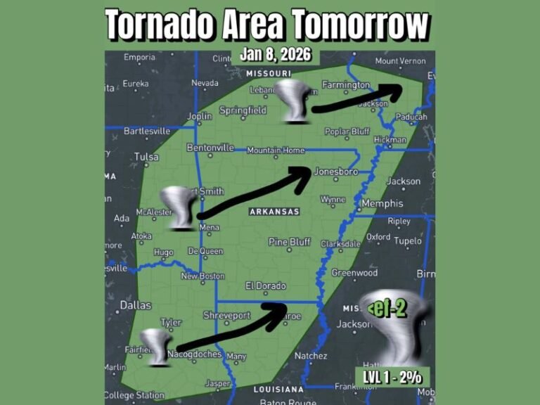
Major Winter System Expected to Slam the South Next Week with Freezing Rain, Sleet, and Snow Stretching from Texas to Mississippi
SOUTHERN U.S. — A powerful winter storm system is forecast to sweep across the South next week, threatening dangerous ice, sleet, and snow from Texas through Arkansas and into Mississippi, according to the latest model guidance. Forecasters warn the system could create major travel disruptions and power grid stress as Arctic air grips the region from Monday through Friday.
Meteorologists describe the event as the “coldest and most widespread winter outbreak” so far this season — a setup expected to deliver a mix of freezing rain, sleet, and accumulating snow depending on location.
Freezing Rain, Sleet, and Snow Expected Across Multiple States
Model projections show the system sliding southward early in the week, carrying freezing temperatures deep into the Gulf states.
- Pink zones on forecast maps indicate freezing rain, with possible ice buildup on roads, bridges, and power lines.
- Orange areas signal sleet, where frozen pellets could create slick driving conditions.
- Blue and purple shading highlights snowfall accumulations, which could blanket parts of Oklahoma, Arkansas, northern Mississippi, and western Tennessee.
“The entire southern corridor looks like it’s gearing up for an icy mess,” forecasters said. “From Texas to Mississippi, it’ll feel like the South forgot how to summer.”
Timing and Impact
The storm is expected to begin its push Monday night, intensifying through midweek. By Tuesday and Wednesday, freezing rain and sleet are likely to dominate the southern plains, while heavier snow develops farther north.
The most significant travel impacts are expected across:
- Northern Texas, including the Dallas-Fort Worth metro area
- Central and northern Arkansas, with possible heavy sleet accumulations
- Northern Mississippi and western Tennessee, where snow and ice could overlap
By Friday, the system should begin moving eastward, but frigid air will remain locked across much of the South into the weekend.
Residents Urged to Prepare Now
Meteorologists are advising residents to prepare early for potential power outages and hazardous travel, especially in rural and elevated areas.
“Next week isn’t just cold — it’s disruptive,” weather analysts said. “We’re talking about freezing rain that can shut down roads, weaken infrastructure, and strain regional power grids.”
Forecasters also warned that high winds combined with ice could damage trees and power lines, particularly across Arkansas, northern Louisiana, and western Mississippi.
Officials recommend keeping emergency supplies stocked — including flashlights, blankets, nonperishable food, and a reliable heat source — as well as checking on elderly neighbors and pets during extreme cold.
Southern Humor Meets Harsh Reality
While some meteorologists online have taken a lighthearted tone — calling next week’s setup a “Southern felony of freezing rain and frozen grits” — the underlying concern is serious. Temperatures 20 degrees below average could send chills deep into Texas, Louisiana, Mississippi, and Alabama.
One forecaster summed it up bluntly:
“Monday through Friday is pure disrespect from Mother Nature. By Saturday, we’ll be sweeping up emotional debris — and probably some frozen trash cans.”
Even a light dusting of snow or ice in southern regions can lead to major problems on untreated roads. Residents across the lower Mississippi Valley should avoid unnecessary travel once the storm begins and monitor local updates closely.
For continuous severe weather coverage, real-time radar, and forecast updates across the South, visit SaludaStandard-Sentinel.com, where our weather team will track the storm’s progress and impacts throughout next week.