Tornado Risk Returns to Southeast Texas and Western Louisiana Saturday Afternoon Through Overnight Hours
TEXAS & LOUISIANA — A new round of severe weather is on the way this weekend, as forecasters warn of a renewed tornado risk across southeast and east Texas and western Louisiana beginning Saturday afternoon and continuing into early Sunday morning.
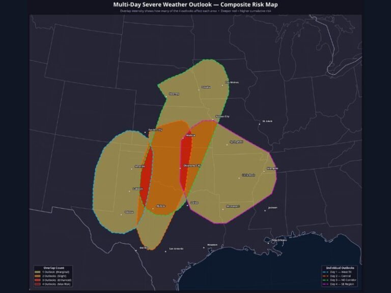
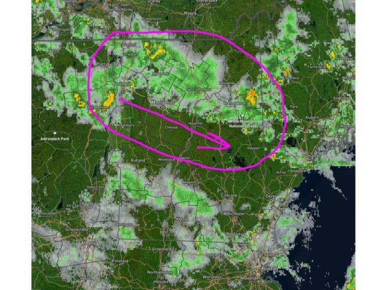
According to meteorologists, storms are expected to develop between 2 p.m. Saturday and 2 a.m. Sunday, with the greatest risk zone covering Houston, College Station, Beaumont, and Lake Charles. While the overall tornado threat remains low to moderate, forecasters caution that a couple of tornadoes cannot be ruled out given the unstable air and wind dynamics in the region.
Storm Setup and Conditions
The upcoming storm threat is being fueled by a strengthening jet stream and warm Gulf moisture, which are combining to create rotating storm environments over the Texas Gulf Coast. Forecasters say storms may quickly intensify during the late afternoon hours, with some capable of producing brief tornadoes, strong wind gusts, and heavy rainfall.
Radar projections indicate the most active window for severe weather will occur from late Saturday evening through midnight, gradually shifting eastward into Louisiana overnight.
“This setup is not expected to produce widespread tornado activity,” meteorologists said, “but the environment is supportive of one or two isolated tornadoes — especially in southeast Texas and nearby Louisiana parishes.”
Key Areas Under Threat
The primary risk zone includes cities such as:
- Houston, College Station, and The Woodlands in Texas
- Beaumont and Bay City near the Gulf Coast
- Lake Charles, Louisiana, and surrounding parishes
These areas could see strong thunderstorms capable of rotation, along with periods of heavy rain and lightning. Farther north into east Texas and western Louisiana, the risk diminishes slightly but still includes the potential for severe cells overnight.
Preparedness and Safety Measures
Emergency officials urge residents to stay weather-aware through the night, especially since this event will extend into overnight hours when tornadoes are more dangerous and harder to detect.
“Make sure you have a reliable way to receive warnings — whether it’s a NOAA weather radio, smartphone alert, or local news notification — and that you can hear those alerts even while sleeping,” meteorologists advised.
Residents are also encouraged to:
- Review their tornado safety plans before Saturday evening.
- Identify safe shelter areas inside their homes, such as basements or interior rooms.
- Avoid traveling during the height of the storm threat, especially along I-10 and U.S. 59, where severe storms could create hazardous driving conditions.
Looking Ahead
The storm system will continue eastward into the lower Mississippi Valley by early Sunday morning, bringing additional rain and isolated storms to parts of Mississippi and Alabama. Behind the front, cooler and drier air is expected to settle over Texas by late Sunday.
While the overall severe threat remains limited, meteorologists emphasize that even one tornado can cause significant damage — particularly in areas with limited overnight visibility.
For continuing updates, radar coverage, and safety guidance across Texas and Louisiana, follow real-time weather alerts at SaludaStandard-Sentinel.com, where our team provides live storm tracking and community safety updates during severe weather events.