Arctic Cold Front to Sweep Across Texas, Oklahoma, and Arkansas Bringing Season’s Coldest Air and Possible Light Snow
TEXAS — The strongest cold front of the season is on the move, and meteorologists warn that much of Texas, Oklahoma, and Arkansas will experience a dramatic drop in temperatures by the end of the weekend — with some areas plunging 20 degrees or more below seasonal averages.
According to the latest forecast models, the Arctic air mass is expected to arrive by Saturday afternoon, sweeping through the region and ushering in the coldest air of the season so far. The frigid pattern will last for several days, bringing widespread winter chill, gusty winds, and even a chance for light snow in parts of Oklahoma and northern Arkansas.
Major Temperature Drop Expected
Forecasters say temperatures will steadily fall throughout the weekend as the front advances. By Monday, daytime highs in North Texas are projected to struggle to reach 40°F, while overnight lows could sink into the mid-20s to low 30s.
“This front will be a strong one,” meteorologists said, noting that temperatures will be 15 to 20 degrees below average across large portions of the southern and central U.S. “Everyone in Texas will feel the effects by Monday morning.”
The accompanying upper-level disturbance will help reinforce the cold air, keeping skies mostly cloudy and limiting any daytime warming. The chill will linger into midweek, with conditions remaining well below average across the southern plains.
Coldest Night Arrives Monday
The coldest night of this outbreak is expected Monday into Tuesday, when low temperatures will range from 26°F to 31°F across North Texas and dip into the 20s in Oklahoma and northern Arkansas.
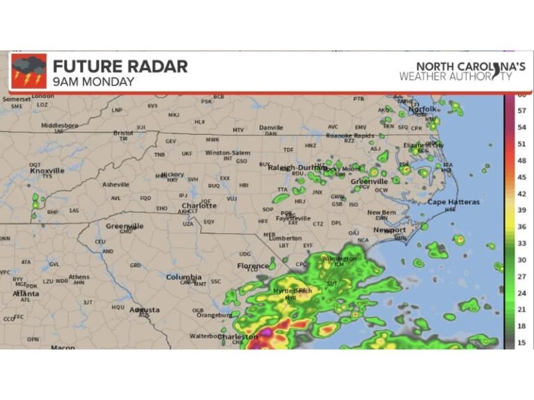
“Light rain or drizzle could mix with sleet or snow in parts of Oklahoma and Arkansas,” forecasters added. “Any precipitation will likely be brief, but roads could become slick overnight.”
While snowfall accumulations are expected to be minimal, the primary concern will be the sharp temperature contrast and potential wind chills in the teens for parts of the region early next week.
Travel and Safety Outlook
The forecast calls for steady north winds behind the front, which could create hazardous conditions for early-morning travelers and those unprepared for the rapid cold snap. Texans and Oklahomans are advised to check on vulnerable residents, pets, and exposed pipes as temperatures remain below freezing for prolonged periods in some areas.
For drivers, bridges and elevated roadways could see patchy ice formation during early Monday and Tuesday mornings. Meteorologists recommend keeping winter emergency kits in vehicles, especially for those commuting long distances.
A Sign of December’s Pattern
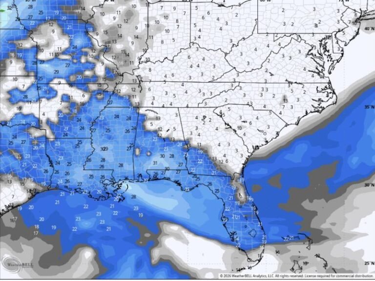
Meteorologists say this Arctic surge is part of a larger pattern of below-average temperatures expected to persist into the first week of December. The core of the coldest air will settle over the Central and Southern Plains, extending into Texas, Oklahoma, Arkansas, and parts of Louisiana.
Weather models indicate that a second cold front could follow later in the week, reinforcing the chill before a gradual rebound closer to mid-December.
As the cold front pushes in this weekend, residents across the South are being reminded to bundle up, prepare for freezing mornings, and limit outdoor exposure during peak cold hours.
For ongoing weather alerts, storm updates, and regional temperature maps, visit SaludaStandard-Sentinel.com, where our newsroom provides real-time reports on developing cold fronts and Southern weather systems.