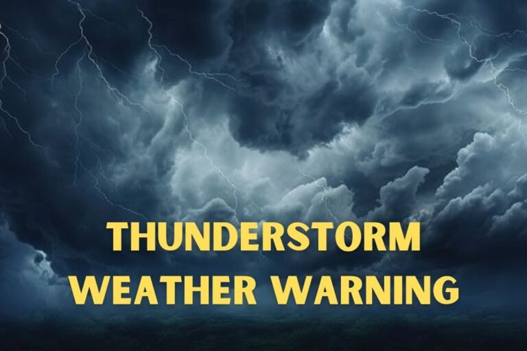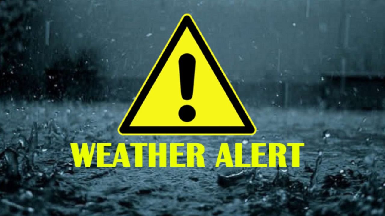
Western Pennsylvania Weather Alert: Tornado Risk and Damaging Winds Possible Thursday Afternoon
PITTSBURGH, Pa. — The National Weather Service in Pittsburgh has issued a warning for strong to severe thunderstorms across western Pennsylvania on Thursday, with the potential for damaging winds and a slim but concerning tornado risk between 12 p.m. and 7 p.m..
Storm Timing and Locations at Risk
Forecasters say the strongest storms will likely form by midday Thursday, especially near Washington, Uniontown, and Indiana. Storms are expected to move west to east, with impacts arriving between 12–3 p.m. west of Pittsburgh and stretching to 6–9 p.m. in the Laurel Highlands and farther southeast.
The system is being triggered by an approaching cold front, which could organize scattered morning showers into afternoon thunderstorms.
Level 1 Severe Risk
The NWS has placed the region under a Marginal Risk (Level 1 of 5) for severe weather. While confidence is low for widespread severe storms, forecasters caution that brief, isolated tornadoes cannot be ruled out.
“Even a single tornado can cause significant damage if conditions align,” officials said in their afternoon briefing.
Possible Impacts
- Damaging wind gusts strong enough to topple trees and power lines.
- Localized power outages possible in impacted areas.
- Heavy downpours and lightning creating hazards for drivers.
Residents are urged to have multiple ways to receive warnings in case conditions worsen and a tornado or severe thunderstorm warning is issued.
Safety Precautions
Emergency officials recommend:
- Keeping mobile devices fully charged.
- Avoiding unnecessary travel during the afternoon and early evening.
- Seeking shelter indoors if skies darken or if warnings are issued.
Severe weather watches may be issued as the system develops.
Do you think Pennsylvania communities are adequately prepared for sudden tornado threats outside peak storm season? Share your views at SaludaStandard-Sentinel.com.