Weather: Snow Possible in North Carolina Mountains Monday as Cold Front Brings Early Winter Preview
ASHEVILLE, N.C. — North Carolina could see its first snowflakes of the season Monday, as a surge of Arctic air sweeps across the state, bringing blustery winds, a sharp temperature drop, and light snow showers in the higher elevations.
Meteorologists say that while most of the accumulating snow will remain northwest of Asheville, a few flakes could drift across the mountains into western and central North Carolina, giving residents a brief taste of winter well ahead of schedule.
“This is one of those tricky setups where a few flakes could sneak over the crest into the east side of the mountains,” forecasters explained. “Downslope winds will dry things out, but there may be just enough lift for some flurries to fly.”
Higher Elevations May See Light Accumulation
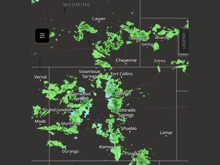
The cold front will arrive late Sunday and continue into Monday, November 10, producing scattered snow showers in western North Carolina. Areas such as Boone, Banner Elk, and Beech Mountain may see a light dusting, while Asheville and surrounding valleys are expected to stay mostly dry.
Model projections show the heaviest snowfall staying just north and west of the region, with the potential for 1–2 inches of snow in the Tennessee border counties.
Meanwhile, the rest of the state will experience strong northwesterly winds and a significant chill — even without snow.
Cold Air Spreads Statewide
The bigger story for most North Carolinians will be the bitter cold air trailing the system. High temperatures Monday will struggle to climb out of the 40s, with wind chills making it feel like the teens and 20s in many spots.
Gusty northwest winds up to 30 mph are also expected, adding to the winterlike feel.
“It’s a true cold blast — one of those early-season days when the air just bites,” meteorologists said. “Even without much snow, it’ll feel like January.”
Flurries Possible East of the Mountains
While most snow will stay confined to the high terrain, forecasters haven’t ruled out the chance for a few flurries or sprinkles reaching into the Foothills and Piedmont regions. However, little to no accumulation is expected there.
Meteorologists emphasize that any flakes in these areas would be short-lived and light, serving as more of a symbolic sign that winter weather season has arrived.
Early Winter Arrives Ahead of Schedule
Monday’s system marks one of the earliest winter-like cold snaps of the year for the Carolinas.
Average highs for mid-November are typically in the upper 50s to low 60s, but next week’s Arctic surge will push temperatures nearly 15–20 degrees below normal.
The frigid air mass will linger through midweek before gradually moderating by Thursday.
Residents across the mountains are encouraged to bundle up, prepare for gusty winds, and protect outdoor plants and pipes from freezing temperatures overnight.
As one forecaster summed it up:
“Winter preview unlocked — and it’s coming in with a bite.”
Stay updated on this developing system and other regional forecasts at SaludaStandard-Sentinel.com.