Washington State and Seattle Area Enter Dry Sunny Stretch With Mid 60s to 70 Degree Warmth and No Record Breaking Heat Expected
WASHINGTON — A stretch of dry, sunny weather is settling across western Washington, bringing what many are calling a “true spring” pattern to the Seattle area with mild temperatures and minimal rain expected over the coming days.
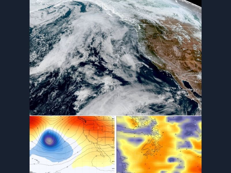
After a typical early spring pattern of quick swings between warm and cool conditions, the forecast now shows a more stable setup, with sunshine dominating and temperatures trending comfortably warm without reaching record levels.
Sunny Easter Weekend Brings Comfortable Spring Temperatures
Easter Sunday is expected to feature mostly sunny skies across Seattle and surrounding areas, with afternoon highs reaching into the mid 60s. Warmer pockets, particularly south and east of Seattle, could briefly touch the low 70s.
This marks a noticeable shift from the unsettled weather patterns often seen in March, giving residents a more consistent and enjoyable spring-like weekend.
Warmest Day of the Year Expected Without Breaking Records
Monday is shaping up to be the warmest day of the year so far for many parts of western Washington. Temperatures may climb close to 70 degrees, offering a rare early-season warm spell.
Despite the warmth, temperatures are expected to remain below record highs, which sit significantly higher. This balance allows for comfortable conditions without the extreme heat that sometimes accompanies early spring warm surges in other parts of the country.
Pattern Shift Brings Cooler Evenings Along the Coast
By late Monday, a shift in the weather pattern will bring onshore flow back into the region. This will introduce cooler air, especially near coastal areas and along the Puget Sound.
Evening temperatures could drop quickly, meaning those spending time outdoors later in the day may notice a sharp change from the daytime warmth.
Slight Cooldown Expected Into Midweek
A weak system moving through British Columbia late Monday into Tuesday may bring increased cloud cover and slightly cooler conditions. High temperatures are expected to settle back into the low to mid 50s instead of the upper 60s or 70s.
However, this system is not expected to produce significant rainfall, keeping overall conditions relatively dry.
Dry and Balanced Spring Weather Continues
For the remainder of the week, the forecast points to a stable pattern featuring a mix of sunshine and light northwest breezes. Temperatures are expected to stay in a comfortable range, generally between the mid 50s and low 60s.
This consistent pattern offers a break from the typical volatility of early spring weather in the Pacific Northwest.
Next Chance of Rain Holds Off Until Early Next Week
Rain chances remain limited through the upcoming week, with the next potential system not expected until early the following week. Until then, residents can expect a prolonged stretch of dry weather.
This type of pattern is often welcomed in the region, especially during spring break periods when outdoor conditions can vary widely.
If you’re enjoying the stretch of sunny spring weather in your area, share your experience with us at SaludaStandard-Sentinel.com and let others know how conditions are shaping up near you.