Washington And Oregon Expect Significant Mountain Snowfall As Cold System Lowers Snow Levels Across The Pacific Northwest
WASHINGTON — A cold system sweeping into the Pacific Northwest late Friday will sharply lower snow levels across parts of Washington and Oregon, bringing heavy snowfall to the Cascades, Olympics, and several key mountain passes. While widespread lowland problems are not expected, travel through high-elevation routes is likely to become hazardous from Friday afternoon through early Saturday.
Friday Snowfall Outlook Across The Region
Forecasters say the arriving system will push snow levels down rapidly overnight, allowing 6–18 inches of snow across the Washington Cascades and the Olympic Mountains. Early projections show Stevens Pass, White Pass, and Government Camp receiving 8–12 inches, with Snoqualmie Pass likely seeing 6–12 inches. The convergence zone forming late Friday may briefly lower snow levels enough to send flakes into parts of Seattle and Everett, although significant lowland accumulation is not expected.
Across Oregon, the Cascades are projected to receive 4–12 inches, adding to the region’s building seasonal snowpack. The southern Washington and northern Oregon passes will see steady snowfall through Friday evening, creating periods of reduced visibility and slick driving conditions.
Impacts On Mountain Travel Friday Night
Higher elevation corridors are expected to feel the strongest impacts as the cold system deepens. Rainy Pass is forecast to pick up 4–6 inches, while the Blues could see 5–10 inches. Eastern Washington areas including Spokane and Pullman may see light accumulations, ranging from a coating up to 1–3 inches.
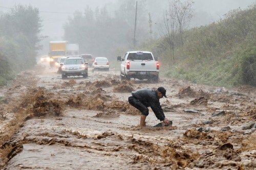
Travel experts warn that roadway conditions across the Cascades may deteriorate quickly late Friday, especially after sunset. Drivers heading across mountain passes should be prepared for icy surfaces, chain requirements, and rapidly dropping temperatures. While lowlands will remain mostly wet, hilltop neighborhoods in Western Washington could receive a thin coating of snow as cold air flows in behind the system.
Lower Snow Levels And Valley Possibilities
One notable feature of this system is the unusually low snow levels, which could fall below 1,000 feet in parts of Washington Friday night. Although significant impacts are not expected in valley cities, forecasters caution that brief bursts of snow or mixed precipitation may occur in areas affected by the convergence zone.
What Residents Should Expect Next
Forecasters emphasize that mountain passes will be the main trouble zones, not the major metro areas. However, anyone traveling between Seattle, Portland, or inland regions should monitor updates closely. Snowfall will taper off by early Saturday, but cold air lingering behind the system could keep roadways slick through the morning hours.
Residents and travelers are encouraged to stay alert and follow guidance from the Washington State Department of Transportation and Oregon DOT for updated pass restrictions, traction requirements, and real-time road conditions. Stay alert, travel safely, and keep up with the latest updates from the Saluda Standard-Sentinel as this Pacific Northwest weather system unfolds.