United States Forecasts Exceptionally Warm Christmas Day With Above-Average Temperatures Spanning Coast to Coast
GEORGIA — It’s shaping up to be one of the warmest Christmas Days in recent memory for much of the United States, as meteorologists project well above-average temperatures stretching from the West Coast through the Midwest and into the East.
According to data from the European Centre for Medium-Range Weather Forecasts (ECMWF), a large portion of the continental U.S. will experience temperatures 10 to 25 degrees above normal on December 25, 2025 — marking a holiday heatwave that spans nearly every region outside the far northern plains.
The temperature anomaly map shows deep red and orange shades across much of the nation, signaling widespread warmth for millions of Americans who will enjoy mild weather for Christmas travel and gatherings.
Widespread Warmth From Coast to Coast
The ECMWF’s long-range model depicts a nationwide warm spell, with the highest anomalies centered across the Central Plains, Midwest, and Southeast.
- Midwest: Cities like Chicago, St. Louis, and Kansas City could see highs reaching the mid-60s.
- South and Southeast: States including Texas, Georgia, and Florida may climb into the upper 70s and low 80s.
- Northeast: Even regions like New York and Washington, D.C. are forecast to stay mild, with highs in the upper 50s and lower 60s.
- West: From California to Colorado, the trend continues with temperatures hovering 10–15 degrees above normal.
“This is a coast-to-coast warmth event, rare for late December,” meteorologists said. “We’re looking at a pattern that will bring spring-like conditions across most of the country.”
No Major Winter Travel Disruptions Expected
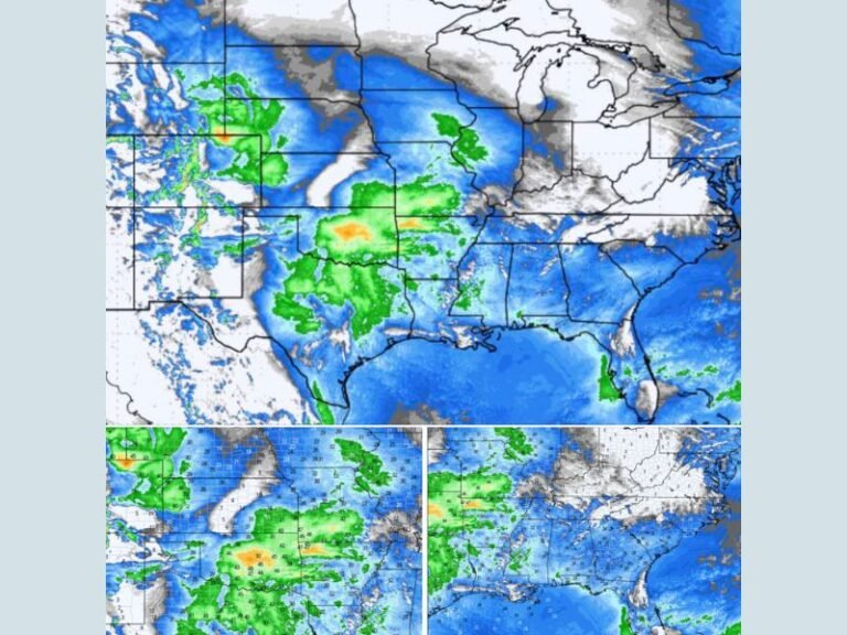
While the warmth may disappoint snow lovers, it’s good news for holiday travelers. With no significant snow or ice events projected across the majority of the nation, millions heading home for the holidays should encounter smooth driving and flight conditions.
“At least no snow for most means fewer travel headaches,” forecasters noted. “This year, it’s more about sunshine than snowflakes.”
The northern Great Plains and Upper Midwest may still see brief bouts of colder air and light snow, but those regions will be isolated exceptions in an otherwise mild holiday pattern.
What’s Behind the Christmas Warmth
Meteorologists attribute this unusual warmth to a strong upper-level ridge positioned over the central U.S. The ridge acts as a barrier, preventing cold Arctic air from spilling southward while allowing subtropical warmth to surge north.
Additionally, the ongoing El Niño pattern in the Pacific Ocean is reinforcing mild temperatures nationwide by influencing the jet stream, keeping it displaced farther north.
“The combination of a strong ridge and El Niño is a recipe for a warm, dry Christmas,” said one climate analyst. “The only snow most Americans will see this year is on holiday decorations.”
Temperature Outlook and Climate Context
While above-average warmth at Christmas isn’t unheard of, the breadth and intensity of this year’s forecast stand out. The ECMWF’s anomaly chart suggests this could be one of the warmest December holidays in over a decade, particularly for the Midwest, South, and Mid-Atlantic.
Cities such as Atlanta, Dallas, and Washington, D.C. could record near-historic Christmas highs — some 15–20°F above normal.
Still, meteorologists caution that early January may bring a pattern flip, as colder Arctic air could return once the ridge weakens.
A “Thankful” Forecast for Travelers
Despite its record-breaking potential, the warmth comes as a relief for millions traveling during one of the busiest holiday weeks of the year. With no widespread snowstorms, airlines and highway departments are expecting smoother operations.
“We’re thankful this year’s forecast brings calm skies instead of chaos,” one forecaster said. “It’s not the white Christmas many wanted, but it’s a safe one.”
For ongoing national weather coverage and regional forecasts through the holiday season, visit SaludaStandard-Sentinel.com.