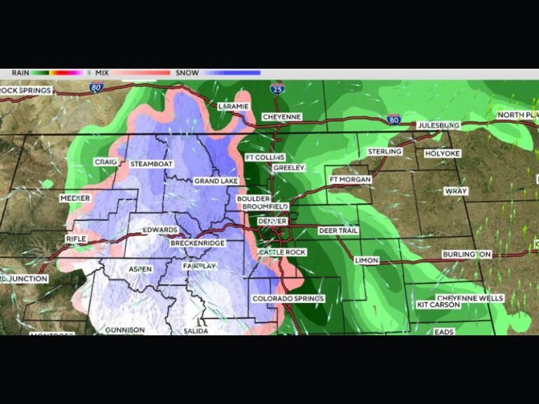
Two Alberta Clippers Expected to Bring 5–8 Inches of Snow Across Minnesota, Wisconsin, and Michigan From December 8–10
UNITED STATES — Two fast-moving Alberta clipper systems are forecast to sweep across the Upper Midwest between December 8 and December 10, bringing rounds of accumulating snow across Minnesota, Wisconsin, and Michigan. While the first clipper is expected to produce only light snow, the second system will be stronger, delivering heavier snowfall totals and creating more significant travel concerns.
First Clipper Arrives With Light Snow and Minor Accumulation
The initial system is expected to arrive late Monday into early Tuesday, spreading light snow of less than 4 inches across northern portions of Minnesota, Wisconsin, and the Upper Peninsula of Michigan. This round will introduce slick roads and reduced visibility, but widespread impacts are expected to remain limited.
Meteorologists describe this first clipper as “quick but modest,” with the primary concern being slippery surfaces during morning and evening commutes.
Stronger Second Clipper Will Bring Heavier Snowfall Totals
A more robust system tracks in immediately behind the first, arriving Tuesday evening into Wednesday. This second clipper will bring heavier snow bands across central and southern Minnesota, central Wisconsin, and portions of western and northern Michigan.
Forecast models highlight:
- 5–8 inches or more in a concentrated zone stretching from Fargo and Minneapolis through Green Bay and Alpena
- Widespread 3–5 inches surrounding the core heavy snow band
- Steadier snowfall rates that may significantly reduce visibility
This stronger clipper may also bring gusty winds, further complicating travel across interstates I-35, I-94, and I-90.
Back-to-Back Systems Will Add to Early-Season Snow Totals
With both systems occurring just hours apart, residents and road crews may see continuous snow cover from Monday night through Wednesday. The accumulated snowfall may contribute to already rising seasonal totals across the Upper Midwest, particularly in areas that have already seen frequent snow events this month.
Meteorologists say that the rapid sequence of storms is typical of an active early-winter pattern, especially for states positioned along the northern storm track.
Travelers Urged to Prepare for Slippery Roads
With two rounds of snow moving through the region, drivers should anticipate:
- Snow-covered and slick roads
- Reduced visibility, especially during heavier snow bands
- Longer travel times on major highways
- Frequent changes in road conditions between Tuesday and Wednesday
Forecasters recommend allowing extra time for travel and monitoring updated alerts from local weather offices.
How are these early-season snow systems affecting your winter plans? Share your thoughts with us at SaludaStandard-Sentinel.com.