Thunderstorms Bring Marble-Sized Hail and Gusty Winds to Western North Carolina
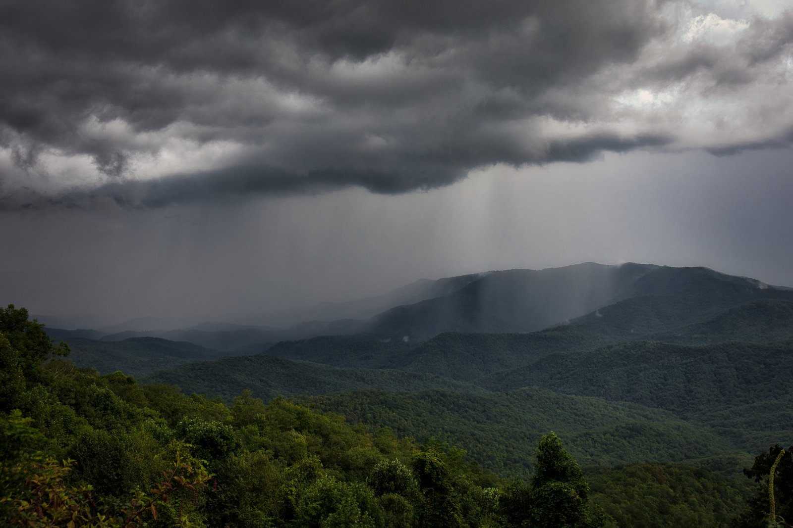
RUTHERFORDTON, N.C. – Strong thunderstorms rolled through Western North Carolina on Wednesday afternoon, bringing marble-sized hail and gusty winds to parts of Rutherford and Polk counties.
Storm Alerts Issued by National Weather Service
The National Weather Service Greenville-Spartanburg office issued an alert at 4:14 p.m., warning that storms could produce hail up to 0.5 inches in diameter and winds reaching 40 mph. The alert covered areas of the Rutherford Mountains, Greater Rutherford, and Eastern Polk until 4:45 p.m.
Radar indicated a storm about nine miles northwest of Rutherfordton, moving southeast at 10 mph. Forecasters warned that gusty winds could knock down tree limbs, blow around unsecured items, and cause minor damage to outdoor property. Communities including Shingle Hollow and Green Hill were highlighted in the alert.
Safety Precautions During Severe Weather
Officials reminded residents to take storm safety seriously, especially when lightning is involved. The United States averages about 25 million lightning strikes each year, and around 20 people are killed annually.
Safety guidelines include moving indoors at the first sound of thunder, avoiding electrical equipment and plumbing while inside, and waiting at least 30 minutes after the last lightning strike before going back outdoors. Those unable to find shelter are advised to avoid open fields, ridge tops, and tall isolated trees, and to stay away from water and metal objects that conduct electricity.
Driving Hazards in Rain and Hail
The storms also increased risks on roadways. The NWS urged drivers to slow down, use headlights, and steer clear of standing water to prevent hydroplaning. Large vehicles such as trucks and buses can spray water that reduces visibility, while flooded areas pose dangers of flash flooding and vehicle damage.
Hydroplaning occurs when water builds beneath tires faster than a car’s weight can displace it, lifting the vehicle onto a thin layer of water and reducing control. Reduced speed, proper tire tread, and avoiding deep water are key to preventing this hazard.
Relief Expected After Storms
While storms rattled the foothills and mountain areas Wednesday, forecasters say conditions will gradually ease. Highs remain seasonably warm, but drier air is expected later in the week, offering a brief break from summer’s most severe weather patterns.
Residents across Western North Carolina are encouraged to share their storm experiences and safety tips with neighbors through SaludaStandard-Sentinel.com.