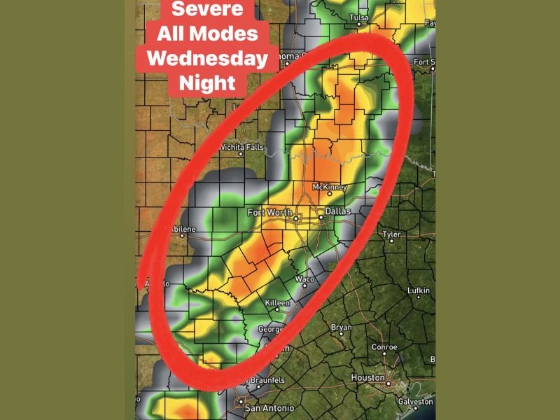
Texas Including Dallas, Fort Worth, Waco and Abilene Faces All Modes Severe Storm Threat With 60 MPH Winds, Hail and Tornado Risk Wednesday Night
TEXAS — A line of strong to severe thunderstorms is expected to develop across parts of North and Central Texas Wednesday night, bringing a range of hazards including damaging winds, hail, heavy rainfall, and a possible tornado risk.
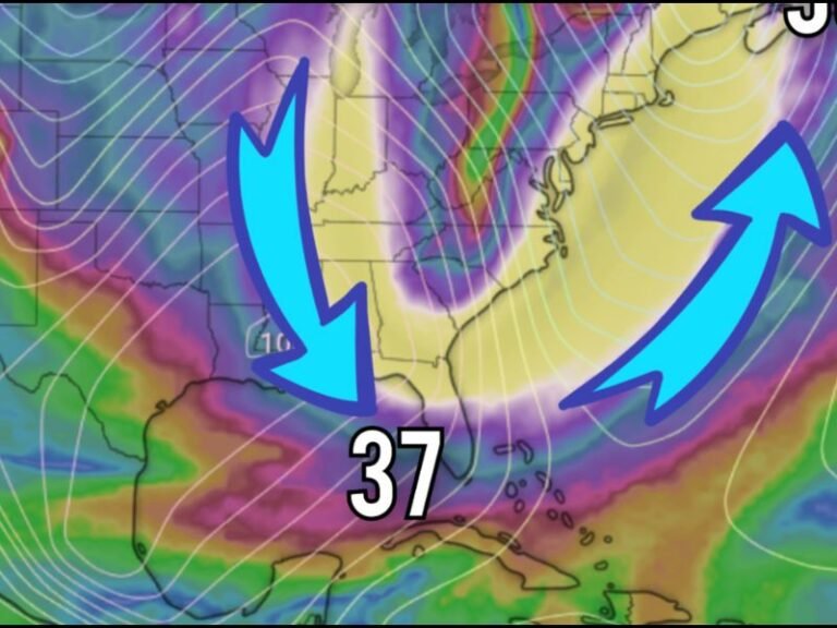
The storms are forecast to form along a cold front after dark, with activity continuing into the overnight hours as the boundary slows or stalls across the region.
Line of Storms Expected to Develop Along Cold Front After Dark
Weather conditions are expected to become favorable for storm development Wednesday evening, with a cold front acting as the trigger for thunderstorm formation.
As the front moves into Texas, storms are likely to organize into a line, stretching across areas including Abilene, the Dallas-Fort Worth metroplex, Waco, and extending toward Central Texas. Because this activity is expected after sunset, visibility will be reduced, increasing the risk of nighttime severe weather impacts.
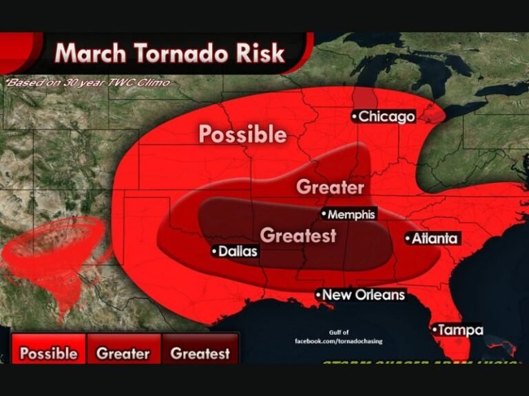
All Modes of Severe Weather Possible Across North and Central Texas
Forecasters indicate that “all modes” of severe weather are possible with this system. This includes damaging straight-line winds, large hail, isolated tornadoes, and periods of heavy rainfall.
Damaging winds could reach up to 60 mph, strong enough to bring down trees and power lines in affected areas. The combination of instability and wind shear may also support rotating storms, which could briefly produce tornadoes within the line.
Heavy Rain and Frequent Lightning Expected With Storm Line
In addition to severe weather threats, these storms are expected to bring bursts of heavy rain and frequent lightning. Rainfall intensity could be high at times, particularly where storms slow down or repeatedly move over the same locations. Frequent lightning will also pose a risk, especially for anyone outdoors during the evening and overnight hours.
Overnight Storm Activity Could Persist if Front Slows Down
One of the key concerns with this setup is the potential for storms to linger overnight if the cold front slows or stalls.
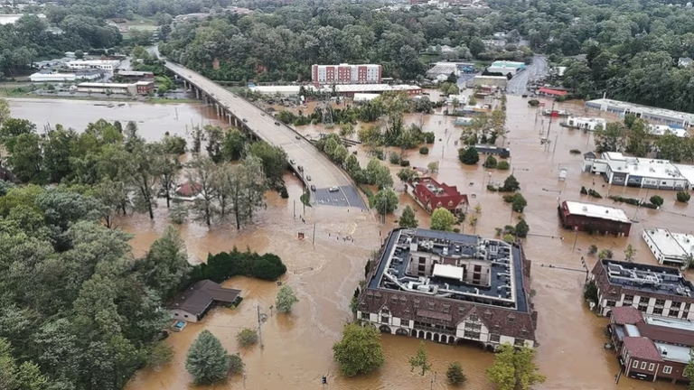
This would allow storms to continue affecting the same areas for an extended period, increasing the chances of localized flooding or prolonged severe weather conditions.
Residents should be prepared for storms not only during the evening but also into the late-night and early morning hours.
Residents Urged to Stay Weather Aware Through the Night
Because the storms are expected after dark, residents across North and Central Texas are urged to stay alert and have multiple ways to receive weather warnings. Nighttime severe weather can be especially dangerous, as people may be asleep when warnings are issued.
Staying informed and prepared will be critical as this system moves through the region. Stay informed and share your local conditions or concerns by visiting SaludaStandard-Sentinel.com.