Tennessee, North Carolina, and Georgia Mountains Bracing for Up to 18 Inches of Snow and Blizzard Conditions
KNOXVILLE, Tenn. — A powerful early-season winter storm is set to blanket the Great Smoky Mountains and surrounding Southern Appalachians with heavy snow and blizzard-like conditions through Monday, forecasters warn.
Meteorologist updates indicate that up to 18 inches of snow could fall across the highest peaks of the Smokies, including Kuwahi (Clingmans Dome) and Mount Guyot, while lower elevations across Tennessee, North Carolina, and north Georgia may see flurries or light snow accumulations.
Heaviest Snow in the Smoky Mountains
Weather models show 6–12 inches of snow for much of the Smokies and foothill regions, while the highest ridges could see totals approaching a foot and a half. Strong winds will accompany the snowfall, producing whiteout conditions in mountain passes and along higher ridgelines.
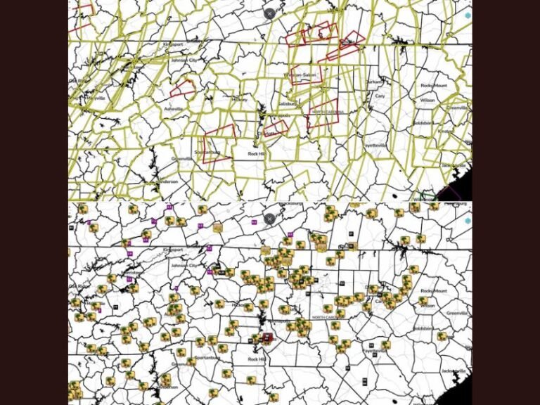
Forecasters say travel across the Smoky Mountain National Park and parts of eastern Tennessee into western North Carolina will be extremely hazardous late Sunday into Monday morning.
“Big time snow for the highest peaks of the Smokies tonight and Monday,” meteorologists noted in a forecast update. “Many folks across middle and eastern Tennessee, northeast Alabama, north Georgia, and parts of the Carolinas will be surprised by flurries and light snow Monday.”
Flurries Spreading Into the Southeast
Beyond the high peaks, light snow or flurries are expected across eastern Tennessee, northeast Alabama, north Georgia, and western North Carolina as cold air deepens overnight. Some areas may see a dusting of snow that could briefly coat grassy surfaces and rooftops early Monday.
Even areas as far south as Atlanta and northern Alabama could experience wintry precipitation, though significant accumulation is not expected.
Travel and Safety Warnings
Authorities are urging residents and visitors to avoid mountain travel during the storm and to monitor local advisories for rapidly changing conditions. The combination of heavy snow, gusty winds, and icy roads could make some routes impassable, especially in the Great Smoky Mountains National Park.
Travelers are advised to carry emergency supplies, dress in layers, and avoid unnecessary trips through high elevation areas until road crews can clear snow later Monday.
Early Winter Chill for the Region
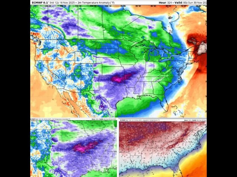
As the snow tapers off by late Monday, temperatures will remain well below normal, keeping roads slick into Tuesday morning. Meteorologists say this system marks the first significant winter event for the Southern Appalachian region this season.
For continuous storm coverage and local safety updates, visit SaludaStandard-Sentinel.com.