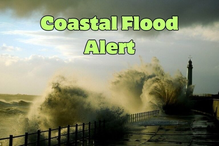
Tampa Weather Alert: Strong Thunderstorms Monday Could Bring Flooding Along I-275
TAMPA, F.L. — Tampa Bay residents should prepare for strong thunderstorms Monday, September 8, with heavy rain and dangerous lightning expected to disrupt commutes and raise flooding concerns, according to the National Weather Service.
Storms Target Afternoon and Evening Hours
Forecasters said Monday carries a 70% chance of thunderstorms, most likely during the afternoon and evening.
Highs will reach around 90°F, but humidity will push heat index values near 100, adding to safety concerns for those outdoors.
Travel Disruptions Likely
The storms could create hazardous travel conditions on major routes including I-275, I-4, and the Howard Frankland Bridge, especially during the afternoon rush.
Officials warn of localized flooding in low-lying neighborhoods and urge drivers to avoid water-covered roadways.
Midweek Storm Pattern Continues
Thunderstorm chances remain 60–70% each afternoon through midweek, with repeated downpours likely in some areas.
Lightning will remain a significant risk for beachgoers, boaters, and outdoor workers, officials said.
Five-Day Forecast for Tampa
- Monday: Thunderstorms likely, high 90°F, heat index near 100.
- Tuesday: Thunderstorms likely, high 89°F.
- Wednesday: Thunderstorms likely, high 89°F.
- Thursday: Partly sunny, chance of storms, high 90°F.
- Friday: Scattered thunderstorms, high 89°F.
Tampa residents are advised to stay weather-aware, limit outdoor activity during peak afternoon heat, and prepare for travel delays during heavy downpours.
Do you believe Tampa should expand stormwater infrastructure to better handle repeated flash flooding risks? Share your thoughts with us at SaludaStandard-Sentinel.com.