Strong Wind Gusts Expected Wednesday Across the Southeast, Bringing Hazardous Travel Conditions to Alabama, Georgia, the Carolinas, Mississippi, Louisiana and Florida
LOUISIANA — A powerful surge of cold, fast-moving air is expected to sweep across Louisiana, Mississippi, Alabama, Georgia, Florida, and the Carolinas on Wednesday, bringing strong wind gusts that may create hazardous conditions for drivers, homeowners and early-morning commuters.
Forecasters warn that this system is not just a breezy morning, but a sharp, potentially disruptive gust pattern capable of impacting unsecured outdoor items, tree limbs, and visibility for drivers.
Strong Winds Could Create Difficult Conditions Across the Region
Meteorologists expect wind gusts strong enough to impact high-profile vehicles, loosen weak structures, and cause minor property damage. Forecast models show widespread 20–35 mph gusts, with some locations possibly seeing stronger bursts depending on how the system organizes Wednesday morning.
Across Alabama, Georgia, and the Carolinas, wind chills will also drop sharply as the system passes, making morning conditions feel even harsher. Farther south into Florida, gusty winds will accompany cooler-than-normal temperatures across the northern half of the state.
Forecasters note that the combination of cold air and rapid wind acceleration may catch many residents off guard, particularly early in the morning.
Residents Urged to Prepare for Potential Hazards
Officials are urging residents to prepare for the incoming wind event. Important reminders include:
- Secure outdoor items, including trash bins, decorations and lightweight furniture.
- Protect pets and plants, especially in areas expecting colder wind chills.
- Use caution on the roads, particularly on bridges and open highways where gusts can shift vehicles suddenly.
- Check on elderly neighbors in drafty homes where wind can intensify cold indoor conditions.
Homeowners with loose roofing, siding or older fencing may also notice strain during the peak gust periods.
Model Data Shows Widespread Cold and Gusty Conditions
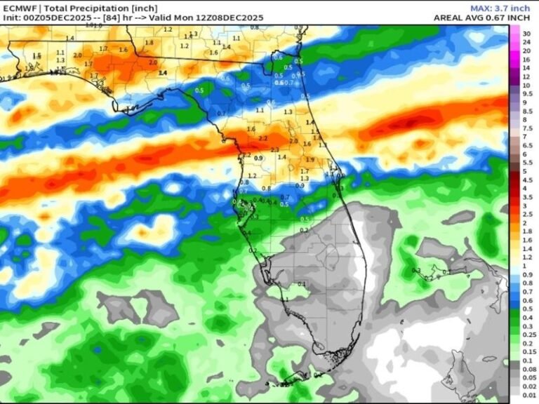
Forecast maps show cold apparent temperatures stretching from Louisiana to the Carolinas, with the strongest wind effects covering the Deep South and Gulf Coast. Even areas in North Florida may feel sharp morning chills and gusty conditions as this system pushes through.
While this is not a severe storm system, the strength and timing of the winds are enough to pose complications for early commuters and those spending time outdoors.
More Updates Coming as the Pattern Evolves
Forecasters will continue monitoring model trends as the system approaches. Additional updates are expected throughout Tuesday night and early Wednesday.
Residents across the Southeast are encouraged to stay weather-aware and take simple precautions to avoid potential disruptions.
For more local weather coverage and alerts, stay connected with SaludaStandard-Sentinel.com.


