Strong Tornadoes Possible Monday Across Texas and ARK-LA-TEX Region, Forecasters Warn
TYLER, Texas — Forecasters are warning residents across central Texas and the ARK-LA-TEX region to stay alert on Monday, as conditions become increasingly favorable for strong tornadoes and widespread severe thunderstorms.
The latest model guidance shows strong wind shear and sufficient instability building ahead of a storm line expected to develop by Monday afternoon, tracking east across Texas, Louisiana, and southern Arkansas. The Storm Prediction Center (SPC) has indicated that a few strong tornadoes — possibly EF-2 or higher — cannot be ruled out.
Elevated Tornado Risk for Central and Eastern Texas
The highest risk area includes Tyler, Shreveport, College Station, and nearby communities, where forecasters have highlighted an “Elevated” risk zone on the latest forecast map.
Within this zone, conditions could support supercell thunderstorms capable of producing damaging winds, large hail, and strong tornadoes before merging into a broader line of storms.
“We have some upped probabilities tomorrow across central Texas into the ARK-LA-TEX region,” meteorologists explained. “A strong tornado may also be possible, warranting further upgrades as models refine overnight.”
Storm Timing and Development
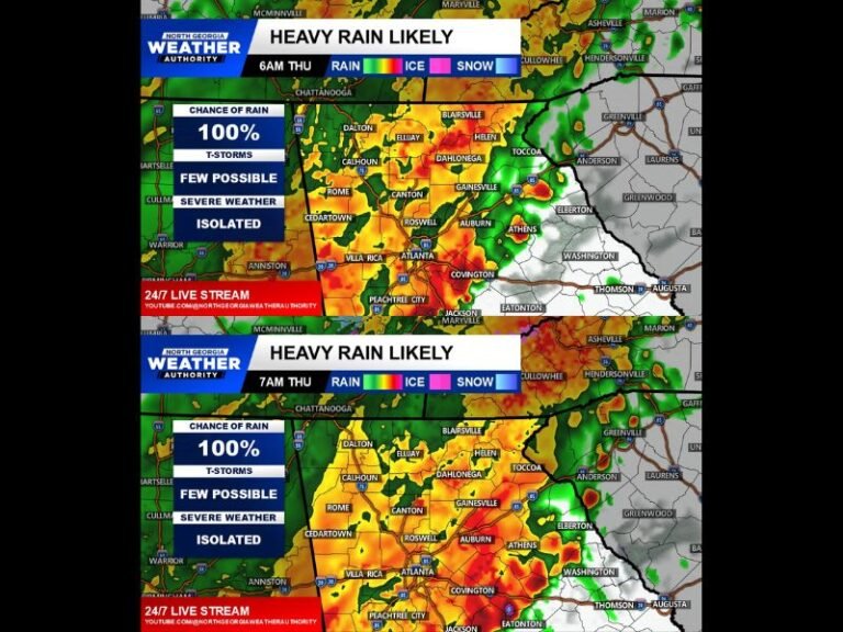
Storms are expected to initiate in central Texas by late morning to early afternoon, intensifying as they move east into eastern Texas, Louisiana, and Arkansas through the evening.
Meteorologists note that warm, humid air will be pulled northward, enhancing instability and fueling the formation of mini supercells ahead of the main squall line.
These pre-line storms could pose the greatest tornado threat, especially if they remain isolated before merging into a larger storm cluster.
Key Impact Areas
- Strongest Threat: Tyler, Shreveport, Longview, College Station
- Possible Tornadoes: Monroe, Pine Bluff, Hot Springs, Bastrop
- Hazards: Tornadoes (potentially strong), damaging wind gusts, and large hail
The storm coverage is expected to be high, meaning many areas within the risk zone could experience some form of severe weather.
Chasers and Residents Urged to Stay Alert
Given the potential for fast-moving and embedded tornadoes, forecasters are urging residents and storm chasers to monitor local radar updates and National Weather Service alerts throughout the day.
“Chase day is looking possible,” one forecaster said, “but the threat level is high enough that anyone in the risk zone should be prepared for quickly changing conditions.”
Safety Tips for Monday’s Severe Weather
- Have multiple ways to receive warnings, including NOAA weather radios and emergency apps.
- Avoid traveling during storms, especially in areas under tornado watches or warnings.
- Move to an interior room on the lowest floor if a tornado warning is issued.
- Keep flashlights, charged devices, and a safety kit ready in case of power outages.
The severe weather risk is expected to continue eastward into Louisiana and southern Arkansas Monday night, with the potential for overnight tornadoes.
Residents across the region are urged to review their safety plans now and remain weather-aware through the holiday week.


