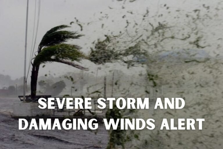
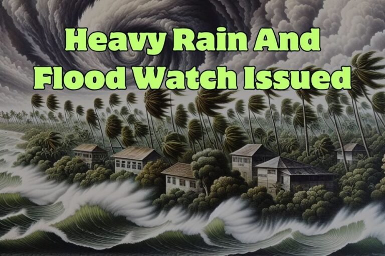
Strong Storms Threaten West Virginia, Kentucky, and Ohio With Flash Flood Risk
CHARLESTON, W.Va. — Residents across the Tri-State region are being warned of scattered thunderstorms today, with forecasters highlighting the potential for damaging winds and flash flooding in West Virginia, Kentucky, and Ohio.
Damaging Winds and Flash Flood Threat
The National Weather Service in Charleston reported that stronger storms could develop over western West Virginia, northeast Kentucky, and southeast Ohio. Meteorologists caution that storms may produce damaging wind gusts strong enough to down trees and power lines, while heavy rainfall could trigger flash flooding in low-lying and flood-prone areas.
Areas at Risk
Maps from the Weather Service outline a broad damaging wind threat stretching through much of western West Virginia into neighboring states. A separate advisory calls attention to a widespread flash flood risk, particularly in communities already saturated by recent rainfall.
Cities most at risk today include:
- Charleston
- Huntington
- Parkersburg
- Beckley
Residents in these areas should prepare for delays, possible power outages, and sudden street flooding if storms intensify.
Timing and Safety
Forecasters say thunderstorms are most likely to form during the afternoon and evening hours, with gradual improvement expected overnight.
The Weather Service advises:
- Avoid driving through flooded roads — just a few inches of water can sweep a vehicle away.
- Secure outdoor items that could be blown around in high winds.
- Monitor weather alerts through phones, radios, or local TV updates.
Officials emphasize that even brief but intense storms can create hazardous travel conditions across the region.
Do you think enough is being done in West Virginia, Kentucky, and Ohio to prepare for flash flood emergencies as storms become more frequent? Share your perspective with us at SaludaStandard-Sentinel.com.