South Carolina Braces for Rain From Low-Pressure System Across Southeast
COLUMBIA, S.C. — A low-pressure system over southern Louisiana is funneling moisture into the Southeast, setting the stage for showers and isolated thunderstorms across South Carolina through the next day, according to a forecast from WLTX News19.
While this system is not expected to develop into a tropical storm, its circulation is pulling in humid air and creating conditions for beneficial rainfall across parts of the Carolinas.
Rain First, Tropics Second
- Timing: Scattered showers today into tomorrow morning, most frequent in eastern South Carolina.
- Severe risk: Low overall, but isolated storms could bring gusty winds and frequent lightning.
- Heat relief: Clouds and rainfall will help keep daytime highs near or slightly below normal for August.
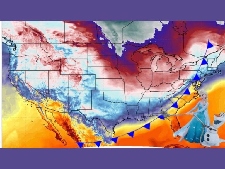
Tropical Storm Erin Strengthens
While the Gulf-side low is bringing near-term rain, forecasters are also monitoring Tropical Storm Erin over the open Atlantic. As of the latest National Hurricane Center advisory, Erin was more than 1,500 miles east of the Caribbean, with 45 mph sustained winds and gusts to 60 mph.
Forecast models suggest Erin could become a hurricane by Thursday afternoon and possibly strengthen into a Category 3 major hurricane by the weekend.
By Saturday, the storm may near the U.S. and British Virgin Islands and Puerto Rico by Sunday. However, long-term track projections remain uncertain, with some models steering it toward Bermuda and others keeping it closer to the Southeast U.S. coast.
Preparedness Tips
South Carolina is not currently in Erin’s projected path, but state officials recommend:
- Monitor official forecasts daily
- Keep emergency supplies stocked during peak hurricane season
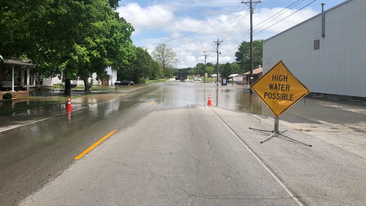
- Avoid flooded roadways during heavy rain events
Have you experienced rain from this system yet? Share your updates and photos with neighbors at SaludaStandard-Sentinel.com.