Snow Showers Clip Connecticut Tonight as Vermont Hills Pick Up Up to 2 Inches, With Multiple Storm Systems Lining Up Through Next Week
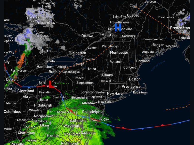
CONNECTICUT AND VERMONT — Light snow showers are expected to move into southern Connecticut and western Vermont tonight and continue into tomorrow morning, bringing a light coating for many areas and slightly higher totals in Vermont’s higher elevations.
Light Snow Tonight Into Tomorrow Morning
Forecast guidance suggests the steadiest snow will focus on southern Connecticut and western sections of Vermont through the overnight hours. For most neighborhoods, the expectation is a minor accumulation that creates a slick glaze on untreated roads, sidewalks, and parking lots around the morning drive.
In Vermont, some higher-elevation communities could see totals push closer to 2 inches, which is enough to make mountain routes and back roads noticeably slower early in the day.
What the First Round Could Mean for the Morning Commute
Even light accumulations can cause problems when temperatures hover near freezing. Drivers should plan for brief reductions in visibility during heavier bursts and watch for icy patches on bridges, ramps, and shaded roads where snow compacts quickly.
If you’re traveling early, slowing down a few minutes and leaving extra stopping distance can be the difference between a routine trip and a close call.
A Busy Stretch Builds Later This Week
Forecasters are also monitoring a more active pattern setting up after this first round. One storm system is being watched for Wednesday into Thursday, followed by another potential system Friday into Saturday.
Then, attention turns to a coastal storm window Sunday into Monday, which could bring a different set of impacts depending on the storm track and how much cold air remains in place across New England.
Why Forecast Confidence Will Change With Each System
Meteorologists stress that each system comes with its own variables—timing, temperatures, and storm path—and that forecasts will be refined step-by-step rather than jumping ahead too far. The expectation is that this could become the busiest 10–12 day stretch of the season so far, especially if multiple storms end up producing wintry weather.
If you’re in Connecticut or Vermont, tell us what you’re seeing tonight—snowflakes, slick roads, or just cold rain—and share your local conditions with SaludaStandard-Sentinel.com.