Rain, Heat, and Isolated Severe Storms Return to North Carolina Saturday
WINSTON-SALEM, N.C. — After a warm Friday with highs in the upper 80s, North Carolina is bracing for scattered storms and rising humidity Saturday, with the potential for isolated severe weather before cooler air moves in by Sunday.
Saturday: Storm Threat Builds
Forecasters say early sunshine and muggy air will set the stage for storm development. By midday, scattered showers and storms could begin forming across the eastern Foothills and into the Raleigh area.
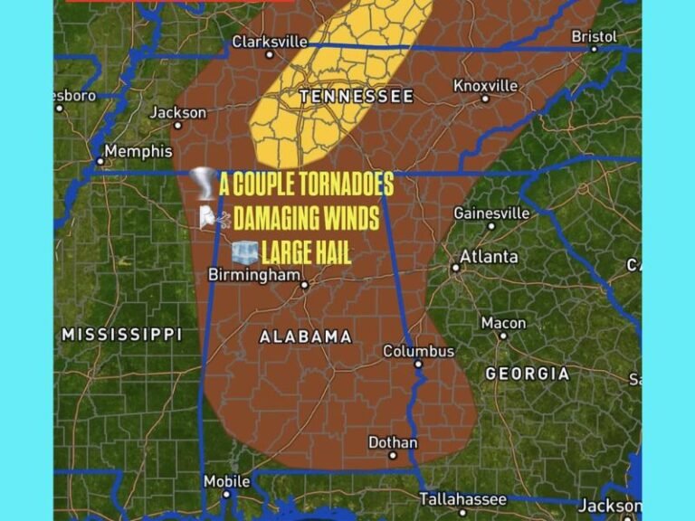
The Piedmont Triad and Foothills are most at risk for severe storms between late afternoon and 8 p.m. Saturday. Damaging winds remain the primary threat, with storms expected to sweep eastward as a strong cold front approaches.
Recent Storms a Reminder
Meteorologists caution that conditions are similar to Thursday night’s severe storms, which brought down trees and power lines in Stokes, Surry, and Wilkes counties. In Galax, Virginia, winds were strong enough to tear the roof off a building.
Residents across the Triad and Foothills are urged to stay weather-aware and prepare for sudden storm impacts.
Sunday Brings Relief
By Sunday, the storm system will have cleared, ushering in cooler, fall-like temperatures with highs in the mid-70s. Lower humidity will provide relief after Saturday’s heat and storms, making for more comfortable conditions statewide.
Weekend Outlook for Sports and Travel
The timing of Saturday’s storms could affect college football games and outdoor events across the state. Fans and travelers are advised to keep an eye on changing conditions, particularly during late afternoon tailgates and evening kickoffs.
North Carolina’s early September weather will be a rollercoaster of heat, humidity, and storm risks before giving way to more seasonable fall conditions.
Do you plan to adjust your weekend activities in light of Saturday’s severe storm risk? Share your thoughts with us at SaludaStandard-Sentinel.com.