Rain Gear Needed Across North Carolina This Week as Showers Persist
WINSTON-SALEM, N.C. — After 1 to 3 inches of rain fell in the past 24 hours, North Carolina residents should prepare for more wet weather, with scattered showers and storms expected to continue through midweek, according to WXII 12 News.
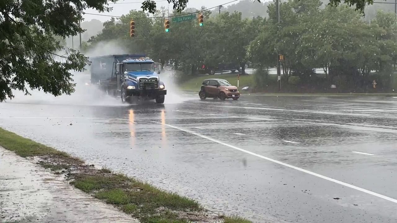
Heavy Rainfall Impacts Piedmont Triad
The Greensboro, High Point, and Winston-Salem areas are likely to see another round of scattered showers and thunderstorms on Tuesday. Foothill and mountain regions will also face periods of rain, potentially creating slick road conditions during both morning and evening commutes.
Meteorologists are warning drivers to allow extra travel time and be cautious of ponding on roads, which has already been reported in some neighborhoods.
Tropical Activity in the Atlantic
Forecasters are also keeping an eye on the Atlantic basin, where tropical waves could strengthen in the coming days. According to WXII’s tropical weather update, conditions are becoming more favorable for development as Tropical Storm Erin continues to be monitored.
While it’s too early to determine any direct impacts on North Carolina, meteorologists emphasize the importance of staying updated during this active part of the 2025 hurricane season.
Late-Week Warm-Up Expected
Despite the unsettled start to the week, warmer weather is forecast to return by late week. Sunshine should break through as the weekend approaches, bringing a welcome change for outdoor activities after several soggy days.
Residents are urged to keep rain gear handy, remain alert for localized flooding, and monitor weather updates as the tropical system develops.
What’s the weather been like in your part of North Carolina? Share your experiences in the comments and join the conversation at SaludaStandard-Sentinel.com.