Rain Chances to Linger in Spartanburg Through Monday, Saturday Offers Best Outdoor Weather
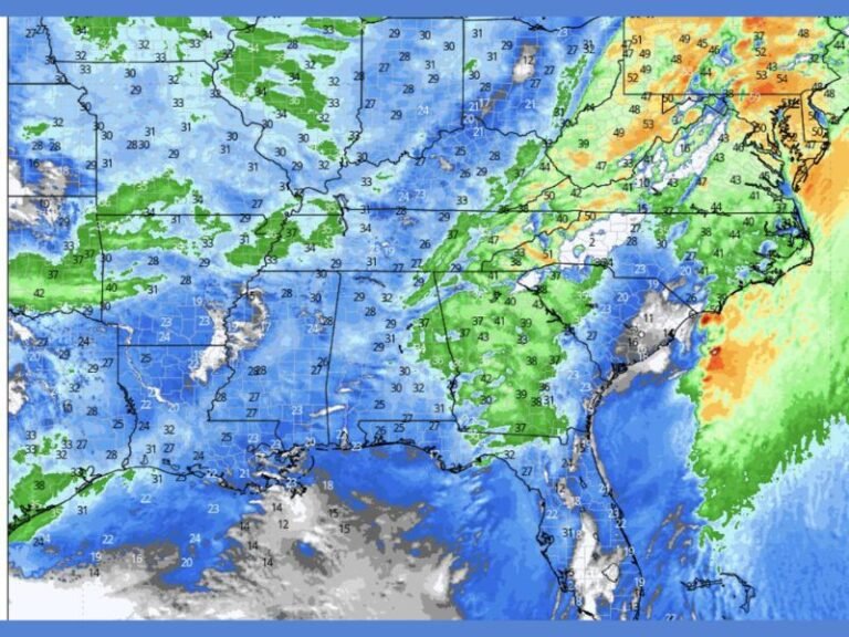
SPARTANBURG, S.C. — Periods of rain and afternoon thunderstorms could put a damper on weekend activities across Spartanburg, with the wet weather expected to stretch into early next week. According to the National Weather Service, residents should be ready for changing skies, possible heavy downpours, and slick roads through Monday.
Cooler Air, But High Humidity
Overnight showers are likely to continue into Saturday morning before giving way to partly sunny skies. Temperatures will be near 82°F, making Saturday the warmest and driest day of the stretch — ideal for running errands or enjoying outdoor events. Northeast winds at 6–8 mph will bring slightly cooler air, though humidity levels will remain high.
Storm Chances Increase Sunday and Monday
On Sunday, rain chances rise after 2 p.m., with a 30% likelihood of showers and thunderstorms in the afternoon and up to 50% by Sunday night. Neighborhoods near downtown Spartanburg and along major routes such as I-26 and US-29 could see the heaviest activity. Monday will likely bring additional rounds of storms, especially during the afternoon and evening, potentially disrupting travel.
Travel and Safety Considerations
The unsettled pattern could lead to brief downpours, ponding on roads, and occasional lightning. Residents are advised to:
- Keep rain gear handy
- Avoid flooded roadways
- Secure loose outdoor objects in case of gusty winds
- Check weather alerts before heading out
Five-Day Forecast for Spartanburg:
- Friday: Mostly cloudy, high 81°F, low 67°F
- Saturday: Partly sunny, high 82°F, low 68°F
- Sunday: Showers/storms after 2 p.m., high 84°F, low 69°F
- Monday: Afternoon showers/storms likely, high 82°F, low 70°F
- Tuesday: Continued storm chance, mostly cloudy, high 84°F, low 70°F
Have a favorite way to spend a rainy day in Spartanburg? Share your go-to spots and weekend weather photos with us at SaludaStandard-Sentinel.com.