Powerful Bomb Cyclone Intensifies Over the Great Lakes With 70+ MPH Winds, Heavy Snow and Rapidly Deteriorating Travel Expected by Monday
GREAT LAKES REGION — A rapidly intensifying bomb cyclone spinning over the Great Lakes is expected to unleash 70+ mph wind gusts, heavy snow, and dangerous whiteout conditions by Monday morning, according to meteorologists tracking the fast-developing system.
Storm Strengthens Explosively as Pressure Plummets
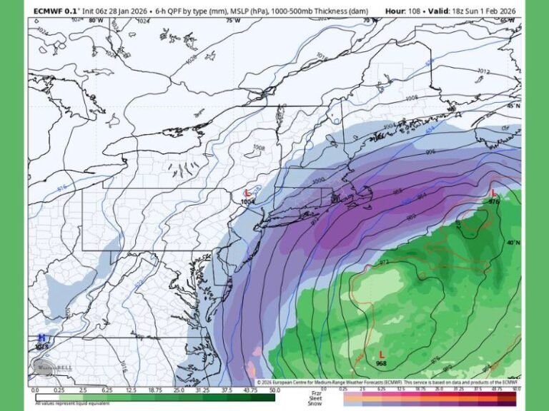
Forecasters say the storm is strengthening at an extreme rate, meeting the criteria of a bomb cyclone, a term used when a storm’s atmospheric pressure falls by 24 millibars or more within 24 hours. This rapid drop causes the system to “explode” in strength, similar to hitting a winter weather accelerator. The current storm’s pressure is near 971 millibars, a level described as very intense for a non-tropical system.
Winds Could Reach 50 to 70+ MPH as Snow Wraps Around the System
Meteorologists warn that as the cyclone deepens, winds will increase sharply, creating the potential for 50 to 70 mph gusts, especially around exposed areas of the Great Lakes. These winds will wrap heavy snow around the system, producing blizzard-like conditions even in areas not under official blizzard warnings.
The combination of strong winds and snow can cause travel to shift from manageable to impossible in minutes, posing a significant threat to drivers.
Why the Storm Is Exploding in Strength
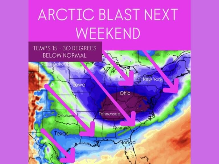
Bomb cyclones form when Arctic air collides with much warmer air, producing a dramatic temperature contrast that fuels explosive strengthening. Forecasters note that while these storms do not receive the same attention as hurricanes, they can be just as disruptive, especially in regions prone to lake-effect snow.
The Great Lakes act as a “fuel source,” with warm lake waters enhancing snowfall rates and worsening visibility.
Hazardous Travel Expected Monday Morning Across the Region
With the system expected to peak early Monday, forecasters caution that commuters should prepare for dangerous road conditions, drifting snow, and periods of near-zero visibility. Strong winds may also contribute to downed trees, power outages, and hazardous conditions for high-profile vehicles.
Cities including Chicago, Detroit, Marquette, and Sault Ste. Marie are positioned to experience varying impacts as the storm rotates across the region. Residents across the Great Lakes are encouraged to stay weather-aware, share local updates, and follow ongoing coverage at SaludaStandard-Sentinel.com.


