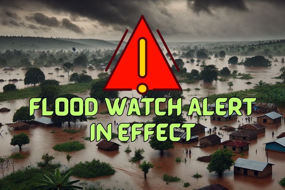
Phoenix Weather Alert: Flood Watch in Effect Through Friday Evening
PHOENIX, Ariz. — The National Weather Service (NWS) has issued a Flood Watch for metro Phoenix and surrounding counties, warning that heavy rainfall could create dangerous conditions through Friday evening.
Rainfall Totals and Risk Areas
Forecasters said 1 to 2 inches of rain are expected across the region, with localized amounts higher. The watch remains in effect from 8 a.m. Friday until late evening for much of Maricopa and Pinal counties.
The threat area stretches from Buckeye and Avondale through central Phoenix into Scottsdale, Mesa, and Queen Creek. Northern communities including Cave Creek, New River, and Deer Valley are also under the watch. In Pinal and Gila counties, places like Apache Junction, Fountain Hills, Superior, Globe, and San Carlos could also see rapid flooding.
Travel Hazards
Low-water crossings, river basins, and flood-prone streets may quickly become hazardous as runoff builds. Emergency officials urged drivers to avoid flooded roads, particularly near the Salt and Gila rivers, where conditions could deteriorate rapidly.
Residents are advised to keep cell phones and mobile devices charged in case of power outages or disrupted service.
Watch Timing and Next Steps
The Flood Watch is expected to expire late Friday night, but the NWS noted that additional advisories could be issued if storms persist. Officials said flash flooding remains possible even after initial rainfall ends due to lingering runoff.
Safety Reminder
Authorities emphasized the importance of the “Turn Around, Don’t Drown” message, warning that even a few inches of fast-moving water can sweep vehicles off the road.
Have you seen flooding in your neighborhood or along major Phoenix-area roads? Share your experiences in the comments on SaludaStandard-Sentinel.com.