Pennsylvania Weekend Storm System Trends Weaker as Southern Track Becomes More Likely, Wintry Mix Risk Diminishes
PENNSYLVANIA — A potential storm system slated for Sunday into Monday remains on the radar for Pennsylvania, but updated model guidance is increasingly favoring a weaker, southern track that would significantly limit impacts across much of the state.
Forecasters emphasize that the system is still five to six days away, making it too early to completely rule out alternate scenarios. However, recent model cycles have leaned heavily toward a less amplified outcome.
Southern and Weaker Scenario Now Favored
The more likely scenario, currently estimated around a 75% probability, supports a weaker low-pressure system sliding off to the south and east of Pennsylvania. In this setup, the northern jet stream does not phase with the southern jet stream, keeping the system less organized and limiting widespread heavy precipitation.
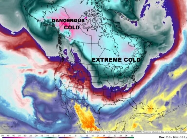
Given the lack of consistent jet stream phasing this winter, forecasters note that this outcome aligns with broader seasonal trends and current model guidance.
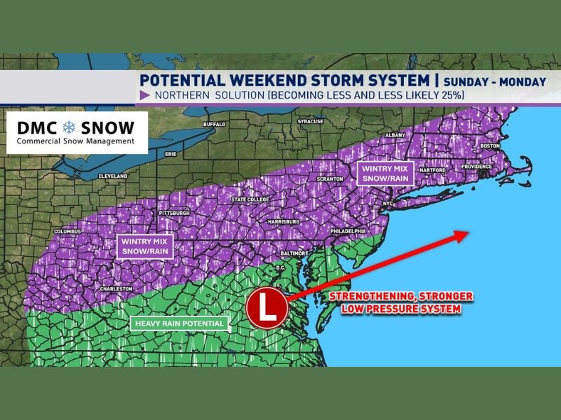
Stronger Northern Solution Becoming Less Likely
A previously discussed northern and amplified scenario — now estimated near 25% — would involve stronger phasing between jet streams, leading to a more robust low-pressure system. In that case, much of Pennsylvania could see a rain/snow mix, with heavier rain farther south.
However, this solution has become less likely in recent model runs. Even under this scenario, the absence of strong cold air to the north suggests a wintry mix rather than a full-scale heavy snowstorm.
Too Early for Snowfall Predictions
Forecasters caution that snowfall projections shown several days in advance are often exaggerated or misleading at this range. With multiple days remaining before the system develops, significant shifts in track and intensity are still possible.
Model trends will continue to be monitored through the week before confidently dismissing the system altogether.
Monitoring Through Midweek Before Final Call
While chances of a high-impact storm appear to be diminishing, meteorologists advise residents to stay tuned for updates through at least Thursday as additional model cycles provide clearer guidance.
At this stage, the focus remains on watching trends rather than reacting to early hype. Have you seen early snowfall maps circulating online? Share your thoughts and stay informed with continued weather coverage at SaludaStandard-Sentinel.com.