Pennsylvania Braces for Rain-to-Snow Transition and Dangerous Flash Freeze as Temperatures Plunge Overnight Into Thursday
PENNSYLVANIA — A rapidly evolving winter weather system is moving across Pennsylvania on Wednesday, setting the stage for rain showers, a late-day changeover to snow, and a potentially dangerous flash freeze overnight as temperatures plunge sharply into early Thursday morning.
Forecasters say the combination of wet road surfaces and rapidly falling temperatures could lead to widespread icy conditions by daybreak, particularly across western and northern parts of the state, where accumulating snow is most likely.
Rain Showers Spread Across the State During the Day
Through Wednesday afternoon, much of Pennsylvania will see periods of rain, with temperatures ranging from the upper 30s in northwestern counties to the low 50s across southeastern areas. This tight temperature contrast is allowing precipitation types to vary significantly by location. In many areas, rain will remain the dominant precipitation through the daylight hours, but colder air advancing from the northwest will begin changing conditions quickly after sunset.
Snow Becomes Likely Tonight in Western and Northern Pennsylvania
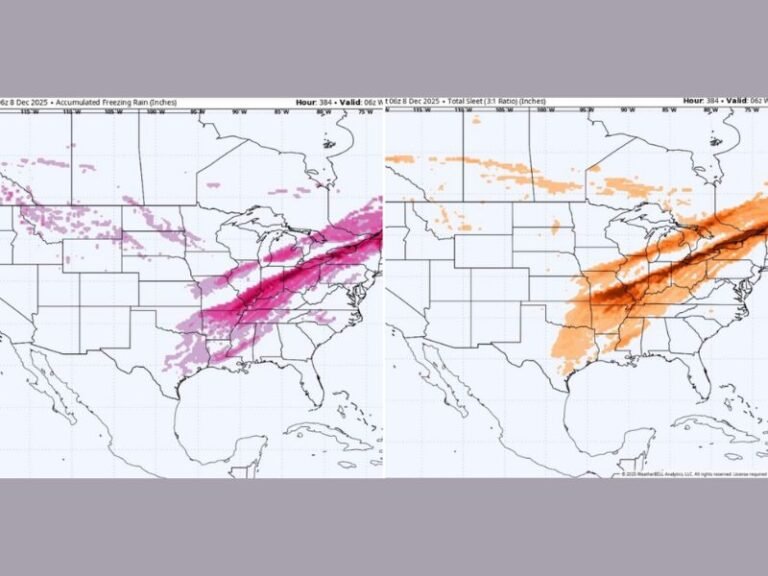
As colder air deepens this evening, rain is expected to mix with wet snow before changing to all snow overnight, especially across western and northern Pennsylvania. Accumulating snow becomes increasingly likely in these regions as temperatures drop below freezing. Central areas may see a brief mix, while far southeastern portions of the state are expected to remain mostly rain-dominated before precipitation tapers off.
Flash Freeze Risk Grows as Temperatures Drop Rapidly Overnight
The most significant hazard arrives late Wednesday night into early Thursday, when temperatures are forecast to fall rapidly, in some cases dropping 2 to 3 degrees per hour. With rain-soaked roads and melting snow still present, any remaining moisture will freeze quickly.
By Thursday morning, air temperatures are expected to be in the teens and 20s across much of the state, excluding far eastern Pennsylvania. Anything wet or slushy is likely to turn icy, creating hazardous travel conditions for the Thursday morning commute.
What Residents Should Prepare For
Drivers are urged to use caution overnight and early Thursday, especially in areas that see snowfall followed by rapid cooling. Bridges, overpasses, and untreated roads will freeze first, increasing the risk of accidents. Residents should also prepare for the coldest conditions so far this season in some areas, with wind chills making it feel even colder by sunrise.
What Happens Next
Colder air remains in place Thursday morning before gradual improvement later in the day. Officials advise staying alert for updated advisories or warnings, as small changes in timing or temperature could significantly impact snow totals and ice coverage.
The Saluda Standard-Sentinel will continue to monitor developments and provide updates as this winter weather system moves through the region. What are you seeing in your area tonight — rain, snow, or ice? Share your local conditions and stay connected with SaludaStandard-Sentinel.com for the latest weather updates.