Outer Banks Braces for Another Coastal Storm With 50+ MPH Winds and Major Flooding Threat
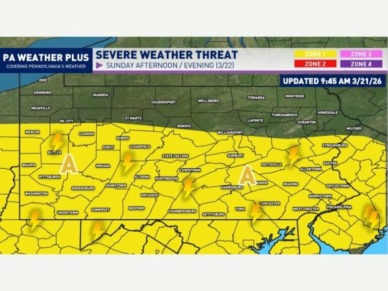
OUTER BANKS, NORTH CAROLINA – Residents along North Carolina’s coast are once again preparing for dangerous weather as another powerful coastal storm moves in, threatening severe flooding, destructive winds, and major beach erosion through Tuesday. Meteorologists warn that the system could bring gusts exceeding 50 mph, widespread power outages, and further damage to areas already struggling from recent storms.
Strong Winds and Erosion Expected Along the Coast
Chief Meteorologist Jamie Arnold of WMBF News reported that the storm will pound the Outer Banks with intense winds and heavy surf throughout the day Tuesday. Forecasts show wind gusts reaching 50 to 56 mph in Kill Devil Hills and Hatteras, with sustained winds strong enough to cause dangerous surf and sand movement.
Highway 12, the main route connecting much of the Outer Banks, is expected to see closures due to flooding and collapsing dunes. Coastal homes near fragile shorelines remain at risk of foundation failure as erosion worsens.
Coastal Flooding Threatens Low-Lying Communities
Officials are warning residents in Dare and Hyde counties to prepare for significant coastal flooding as the combination of high tide and persistent onshore flow pushes water inland. Low-lying neighborhoods near soundside areas are particularly vulnerable, with water levels potentially rising several feet above normal.
Emergency management teams are urging residents to avoid flooded roads, secure outdoor property, and monitor weather alerts closely. Several areas could experience temporary power interruptions as strong gusts topple trees and utility lines.
Series of Storms Continues to Batter the Outer Banks
This latest system marks the third major coastal event in less than a month, compounding damage to beaches and oceanfront properties. Portions of Nags Head, Rodanthe, and Hatteras Village have already seen severe dune erosion, leaving little natural protection from incoming waves.
Local officials say beach restoration efforts and storm recovery projects have been repeatedly delayed due to the ongoing series of storms. Residents describe the season as one of the most punishing in recent memory, with repeated flooding taking a toll on businesses and tourism.
Meteorologists Warn Conditions Could Worsen Overnight
According to forecasts, the strongest winds and heaviest rainfall will occur late Monday night into Tuesday morning, gradually weakening by midweek as the storm moves northeast. Despite improving conditions later in the week, the long-term threat of coastal degradation remains high.
Meteorologists say the persistent pattern of strong easterly flow and high moisture has kept the region under nearly constant stress, and recovery could take months once the weather finally stabilizes.
Residents and visitors along the Outer Banks are encouraged to follow local emergency updates, prepare for power outages, and avoid unnecessary travel until conditions improve. Readers can share local storm updates and experiences in the comments at SaludaStandard-Sentinel.com.