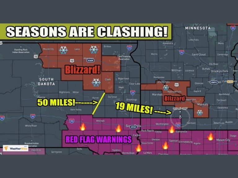
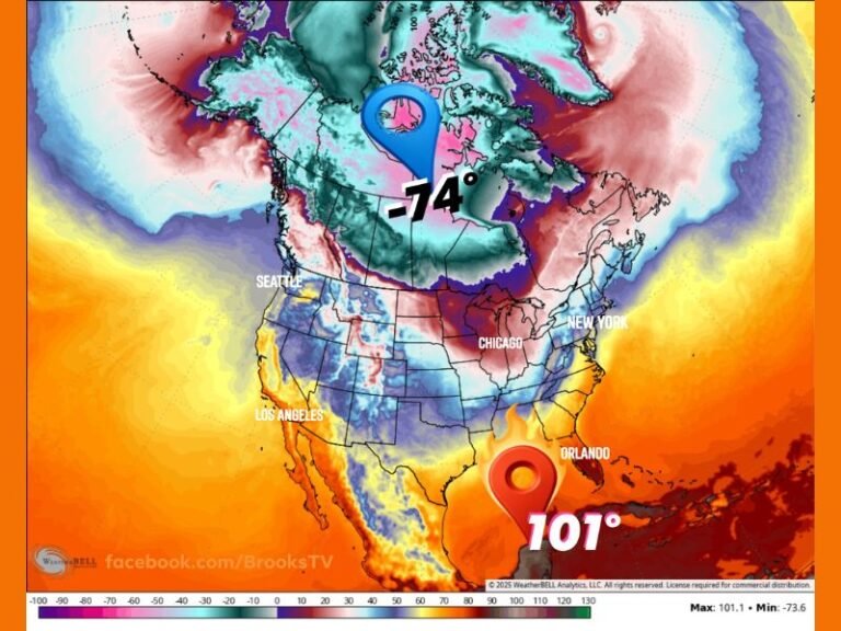
Oklahoma Weather Whiplash: 80-Degree Heat and Wildfire Risk Give Way to Friday Night Flurries North and Thunderstorms South
OKLAHOMA — Oklahoma is seeing a dramatic weather flip as a strong cold front pushes through, shifting the state from recent warmth and wildfire concerns to a split map Friday night: snow flurries in the north and thunderstorms in the south.
A Strong Cold Front Is Driving the Sudden Change
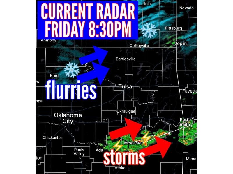
The latest radar snapshot from Friday evening around 8:30 p.m. shows a clear divide setting up across the state. Behind the front, colder air is filtering in quickly—enough to support light flurries in northern areas. Ahead of the front, warmer and more humid air is fueling rain and thunder farther south.
This kind of sharp contrast is common when a powerful front cuts through the Plains, especially after a stretch of unusually mild weather.
Flurries Showing Up in Northern Oklahoma Friday Evening
Radar indications point to flurries across northern Oklahoma, with activity most noticeable in areas west and north of the Tulsa region and up toward the Kansas border. While this does not appear to be a heavy snow setup, flurries can still reduce visibility in bursts and create slick spots on bridges and overpasses—especially if temperatures drop quickly after sunset.
Even when accumulation is minimal, a quick freeze can catch drivers off guard.
Thunderstorms Rolling Across the South and Into Eastern Areas
At the same time, radar shows thunderstorms active across southern Oklahoma, including near and around the McAlester area, with storm activity stretching eastward toward the Arkansas line. These storms may bring brief heavy downpours, gusty winds, and frequent lightning.
For evening travel, the main risks in the south will be poor visibility in heavier rain and sudden ponding on roadways.
Why This Pattern Also Matters for Wildfire Concerns
Before the front arrived, parts of Oklahoma dealt with warmth and dry conditions—factors that can elevate wildfire danger. After frontal passage, winds often stay active while humidity drops on the backside of the system. Even with colder temperatures arriving, gusty winds can still contribute to fire spread where fuels are dry.
What Residents Should Watch Overnight
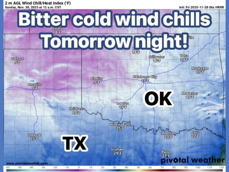
Conditions will likely stay unsettled as the front continues pushing through. Northern communities should watch for falling temperatures and isolated slick spots, while southern and southeastern areas should stay alert for lightning and quick-hitting downpours.
If you’re in Oklahoma, did you see flurries, thunder, or the sudden temperature drop where you live? Share what you experienced and join the conversation at SaludaStandard-Sentinel.com.

