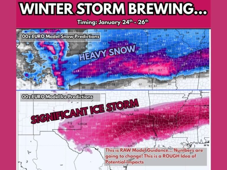
North Carolina–Tennessee Mountain Region Faces 55–65 MPH Wind Gusts and Significant High-Elevation Snow From Friday Into Saturday
NORTH CAROLINA — A powerful late-week weather system is setting up across the western North Carolina mountains and along the Tennessee border, bringing damaging winds and accumulating snow from Friday afternoon through early Saturday. While this will not be a widespread winter storm for lower elevations, conditions in the High Country could deteriorate rapidly due to wind-driven snow and hazardous travel.
High Wind Watch Issued for Large Portion of the North Carolina Mountains
A High Wind Watch is now in effect for much of the North Carolina mountains and parts of the foothills. Forecast data indicates northwest wind gusts ranging from 45 to 65 mph, with the strongest winds expected along the Blue Ridge Escarpment and exposed ridge tops.
Peak wind conditions are expected Friday evening through early Saturday morning, with gusts capable of bringing down tree limbs, damaging power lines, and creating difficult travel for high-profile vehicles.
Snow Accumulation Focused Above 3,000 Feet Elevation
Snowfall with this system will be highly elevation-dependent. Cold northwest flow behind a strong cold front will support upslope snow development, particularly in favored mountain locations.
Expected snowfall amounts include:
- 1 to 4 inches for elevations above 3,000 feet
- 4 to 8 inches for higher ridges and peaks
- Up to 12 inches in the highest elevations near the North Carolina–Tennessee border, including parts of the Smokies
Lower valleys may only see flurries or a brief dusting, but travel impacts increase quickly as elevation rises.
Areas Along the North Carolina–Tennessee Border at Highest Risk
The most significant impacts are expected near and along the North Carolina–Tennessee state line, including high-elevation communities near the Smoky Mountains, Mount Mitchell, and western-facing slopes of the Blue Ridge. These areas are most vulnerable to blowing snow, reduced visibility, and slick road conditions.
Snowfall totals will vary sharply over short distances, with ridge-top locations receiving substantially more snow than nearby valleys.
Travel and Power Outage Concerns
Strong winds combined with snow could lead to scattered power outages, especially in areas with saturated ground or weakened trees. Travel may become hazardous on mountain roads due to blowing snow, drifting, and sudden drops in visibility, even where snowfall amounts are not extreme.
Drivers are urged to use caution, allow extra travel time, and avoid unnecessary travel in high-elevation areas during peak wind periods.
What Happens Next
Snow showers are expected to develop Friday afternoon and continue intermittently through Saturday morning before gradually tapering off. Gusty northwest winds will remain an issue even after snowfall decreases, keeping conditions hazardous in exposed areas.
Residents and travelers in the mountains should continue monitoring forecasts and prepare for rapidly changing conditions.
What are you seeing in your area — increasing winds, falling snow, or power flickers? Share your local conditions and stay updated with SaludaStandard-Sentinel.com.