North Carolina Rain Chances Drop for Friday and Weekend as Cool, Damp Pattern Breaks
WINSTON-SALEM, N.C. – North Carolina’s unusually cool and wet stretch is finally easing, with forecasters expecting lower rain chances and gradually warmer conditions heading into the weekend.
Cool, Damp Pattern Explained
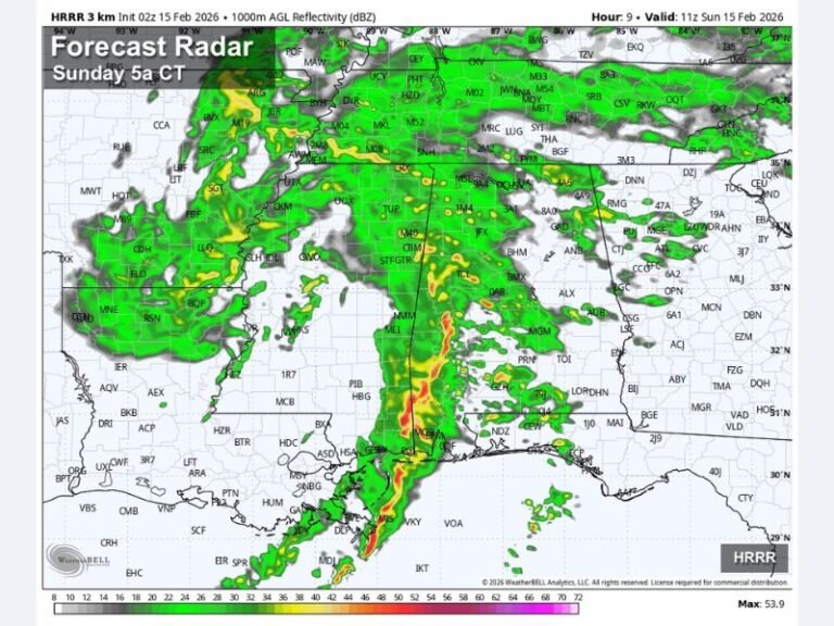
According to the WXII 12 First Warning Weather Team, the Triad has been under the influence of a “Carolina Wedge” — also known as cold air damming. This occurs when high pressure to the north forces cooler, drier air into the Carolinas, trapping it against the mountains. Combined with a stationary front to the south feeding in moisture, the result has been cloudy skies, persistent rain, and below-normal temperatures.
Some parts of Guilford and Alamance counties saw 1–2 inches of rain Wednesday night into Thursday morning, raising localized flash flooding concerns.
Friday Forecast and Weekend Outlook
Rain chances will become more scattered on Friday, with only isolated afternoon showers and thunderstorms expected. Temperatures and humidity will gradually rise, with highs returning to the 80s by the end of the weekend.
Afternoon highs in the Triad on Thursday struggled to reach 70°F, well below seasonal norms. By late weekend, a shift in wind direction should allow for more typical summer warmth.
Flood Watch Expired, But Caution Urged
The Piedmont’s Flood Watch expired Wednesday evening, but meteorologists caution that isolated flooding could still occur where heavy downpours develop.
Have you been enjoying the cooler weather or ready for summer heat to return? Share your thoughts in the comments on SaludaStandard-Sentinel.com.