North Carolina and South Carolina Face High-Impact Banded Snowstorm as Heavy Snow Targets Carolinas This Weekend
SOUTH CAROLINA & NORTH CAROLINA — A high-impact winter storm is taking shape across the Carolinas, with meteorologists warning that snowfall amounts will vary dramatically over short distances as intense snow bands set up late Saturday night and continue into Sunday.
Unlike broader, evenly spread snow events, this storm is expected to behave more like a tropical system, where narrow corridors receive extreme impacts while nearby areas see much lower totals. Forecasters say double-digit snowfall is possible in isolated locations, depending on where the strongest snow bands stall.
Why Snowfall Totals Will Vary So Sharply
Meteorologists caution that pinpointing the heaviest snowfall zones ahead of time is extremely difficult with this type of system. Much like forecasting localized flooding during tropical storms, the most intense snow bands often do not fully reveal themselves until the storm is underway.
If a community ends up beneath one of these persistent bands, snowfall totals could climb rapidly. If missed by even a small margin, totals could drop significantly. This sharp contrast explains why early forecasts show wide ranges instead of exact numbers across the region.
Timing: When Conditions Will Deteriorate
Snow is expected to expand across the Carolinas Saturday evening, with the most impactful period developing late Saturday night into early Sunday morning.
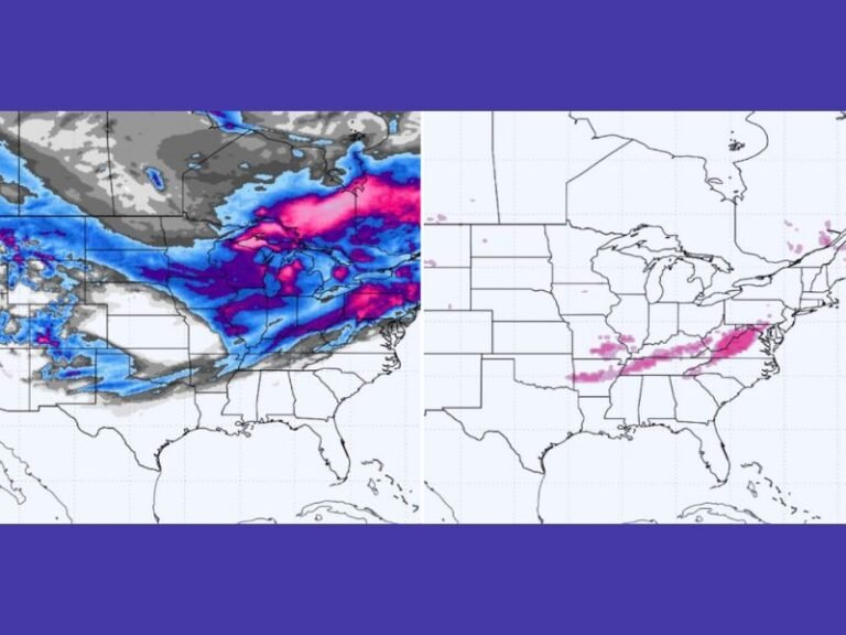
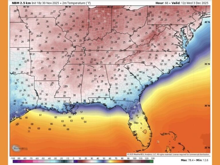
The provided radar guidance shows widespread snow already pushing inland by 9:00 p.m. Saturday, with heavier precipitation concentrated from eastern South Carolina into central and eastern North Carolina as the coastal system strengthens offshore.
Where the Heaviest Snow Is Most Likely
Current guidance suggests the highest risk for heavy snow bands includes:
- Central and eastern South Carolina
- Coastal and inland sections of North Carolina
- Areas near and just inland from the coast, where moisture and cold air overlap most efficiently
Within these zones, snowfall could accumulate rapidly, especially where banding persists for several hours.
Bottom Line for Residents
Forecasters emphasize that it is going to snow, and in some locations it may snow a lot. The uncertainty lies not in whether snow will fall, but where the most intense bands will set up.
Residents across both states should be prepared for:
- Rapidly changing road conditions
- Significant travel disruptions
- Highly localized heavy snowfall totals
- Conditions that may worsen quickly overnight
The best advice is to be prepared, remain flexible, and avoid unnecessary travel once snow bands begin intensifying. An updated and more refined forecast is expected once the storm is fully underway and band placement becomes clearer.
Stay with SaludaStandard-Sentinel.com for overnight updates, refined snowfall projections, and real-time impact reports as this winter storm unfolds across the Carolinas.