North America Split by Extreme Temperature Contrast as Canada Faces -74°F Wind Chills While Florida Approaches 100°F Heat Index
UNITED STATES — A remarkable and rare temperature divide has formed across North America, with parts of Canada plunging into life-threatening wind chills near -74°F while Florida surges toward a heat index over 100°F. Meteorologists report that this extreme north–south contrast is helping fuel the large and volatile storm systems crossing the United States, producing everything from heavy snow to severe thunderstorms depending on the region.
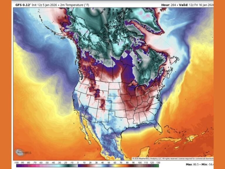
A Nearly 180°F Temperature Difference Across the Continent
Forecast maps reveal an extraordinary thermal gradient stretching from the Arctic Circle to the Gulf of Mexico. Deep, bitter cold pouring into northern Canada is generating wind chills far below -60°F, with some models indicating pockets approaching -74°F—levels typically seen only in the coldest polar outbreaks.
At the same time, Florida and parts of the Yucatán region in Mexico are pushing into heat index values near or above 100°F, creating conditions more similar to midsummer than early winter.
Such a dramatic contrast is not just unusual—it is meteorologically significant, acting as a powerful engine that supports strong weather systems across the United States.
How This Temperature Contrast Fuels Major U.S. Storm Systems
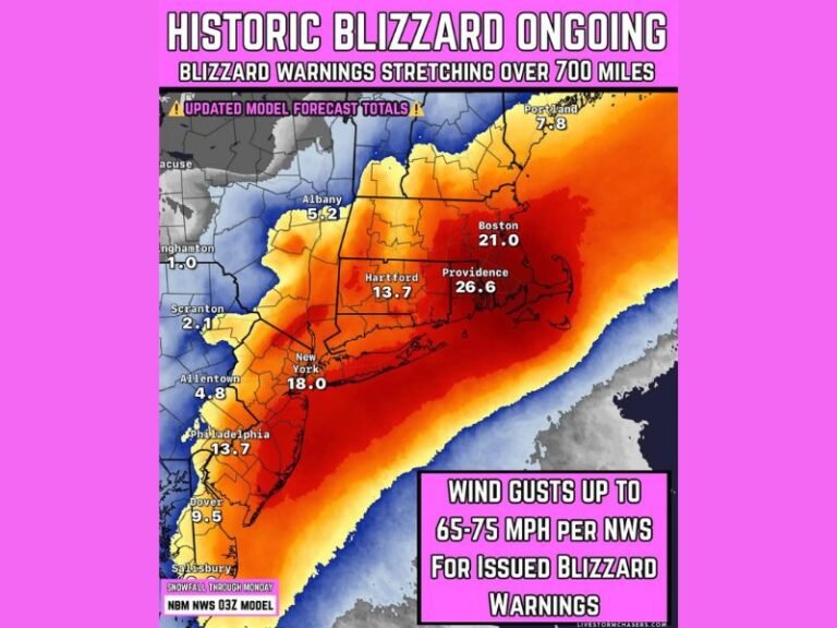
When the atmosphere contains such extreme temperature differences, it increases instability and strengthens the jet stream. This intensified jet stream helps drive the development of powerful storms capable of:
• Heavy snow across the northern U.S. and Upper Midwest
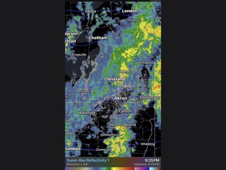
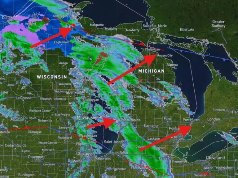
• Intense rain bands across central and eastern states
• Strong thunderstorms and severe weather farther south
Because the cold air mass is so dense and the warmth in the southern region is equally intense, the boundary between them becomes a prime zone for storm formation.
Meteorologists warn that the United States may continue to see large, fast-moving weather systems through the coming weeks because the atmospheric engine behind them remains strong.
Florida Enjoying Unseasonable Warmth as the North Freezes
While the northern half of the continent braces against dangerous Arctic conditions, Florida sits in a warm “sweet spot.” Temperatures will remain in the 70s for much of the week, with a push into the 80s expected as Christmas approaches.
Some areas may even experience heat index values close to 100°F, according to the latest model analysis. This level of warmth stands in stark contrast to the deep freeze gripping the northern regions.
Widespread Impacts Likely Across the Country
The clash between bitter Arctic air and tropical heat will continue to shape weather patterns across the United States, contributing to:
• Increased storm frequency
• Sharp temperature swings
• Travel hazards in snow-covered areas
• Isolated flooding or severe thunderstorms in warmer zones
Communities in the Midwest, Northeast, and Great Lakes should be prepared for additional winter storm activity, while residents in southern states may see unusually warm and humid conditions.
North America’s atmosphere is currently operating under an extreme imbalance—one that will continue to drive significant weather impacts across the United States. Stay updated on major weather developments at SaludaStandard-Sentinel.com.