New England Faces Multiple Rounds Of Snow, Ice And Rain Through Christmas Week As Active Weather Pattern Continues
NEW ENGLAND — A series of winter systems will impact New England from Christmas Day through early next week, bringing a mix of snow, ice, and rain across multiple states as an active weather pattern continues to develop every few days.
Christmas Day Brings Light Snowfall Across The Region
Forecasters say snow will move in during the pre-dawn hours on Christmas Day and continue through much of the day. This will be a light Christmas snow, with expected accumulations ranging from ½ inch to 2–3 inches, depending on elevation and how far north residents live. Drivers are advised to prepare for slick roads early in the morning.
Major Snow Event Likely Friday Into Saturday
A low-pressure system passing south of New England will bring a more significant round of winter weather from Friday evening into Saturday afternoon. Meteorologists warn this will be a plowable snow event for much of Connecticut and southwestern Massachusetts, with accumulations potentially exceeding 8 inches.
Snowfall analysis maps from Wednesday morning show broad swaths of 4–7 inches across interior New England, with locally higher amounts noted in northern Vermont and parts of Maine. The incoming storm is expected to follow a similar pattern.
Sunday Into Monday Brings Rain And Possible Ice
Another system is set to arrive Sunday into Monday, though forecasters currently expect this to be mostly a rain event. Some ice may mix in, and a brief period of backside snow is possible. As of now, confidence is lower for this system, and meteorologists consider it more of a “look at this for now” scenario until better data becomes available.
Active Pattern Expected To Continue Into Following Week
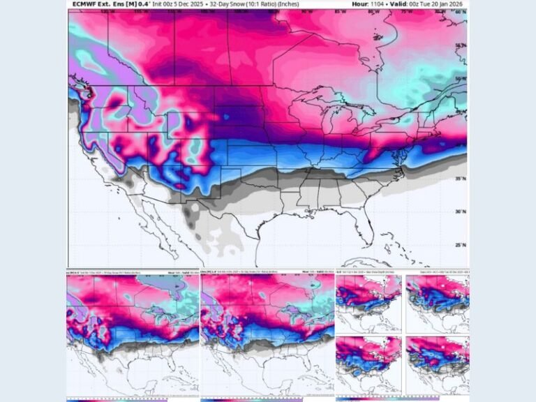
Weather experts say New England is entering a stretch of highly active winter weather, with new precipitation threats expected every 2–3 days into next week. Snowfall monitoring maps from the past 48 hours show the region already accumulating widespread totals, including over a foot of snow in parts of Maine, and 5–7 inches across portions of Vermont and New Hampshire.
Residents are encouraged to monitor updates through the week, especially with rapidly changing storm tracks and temperature fluctuations that could affect travel conditions across multiple states. If you live in New England and are tracking these winter systems, share your experiences and follow ongoing updates at SaludaStandard-Sentinel.com.