Multi-Storm Pattern Targets Western Mountains as Sunday System Brings Rain Below 6,000 Feet Before Stronger Monday Night Surge
UNITED STATES — A developing multi-storm pattern is set to impact portions of the western mountain region beginning Sunday, with an initial system bringing mixed precipitation before a potentially stronger round moves in Monday night into Tuesday.
Forecast guidance indicates the first storm arriving Sunday into Monday may be relatively modest in intensity. However, temperature profiles will play a critical role in determining precipitation type, especially at mid-elevations.
Sunday–Monday Storm: Rain Below 6,000 Feet
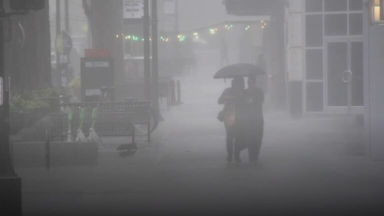
Model data shows widespread precipitation spreading across the region Sunday into Monday. Lower elevations — particularly areas below 6,000 feet — could see primarily rain with this system.
Higher elevations are expected to pick up snow, but forecasters describe this first round as somewhat limited in overall impact. Temperature levels will be “tricky,” meaning small shifts could determine whether some areas see wet snow or cold rain.
While accumulations remain uncertain, this first storm appears to serve more as a precursor to a more dynamic setup early next week.
Monday Night Into Tuesday: Stronger Potential
Attention quickly turns to the Monday night into Tuesday timeframe, which currently looks more promising for widespread precipitation and possibly heavier totals.
The precipitation map shows a more organized area of moisture consolidating over the mountain corridor during this period. If colder air becomes more entrenched, snow levels could fluctuate, impacting travel at higher elevations.
Pressure patterns suggest a more structured system compared to Sunday’s event, increasing the likelihood of stronger lift and steadier precipitation rates.
Another Storm Lurking Late Week
The unsettled pattern does not end there. Forecast models already point to another system arriving Thursday into Friday.
While details remain limited this far out, the continued storm track indicates an active stretch ahead. After Friday’s system, meteorologists hint that “things get more interesting,” suggesting additional pattern changes could develop beyond the current forecast window.
What to Watch in the Coming Days
Temperature trends will be the key factor in determining impacts from each system. Lower elevations may largely deal with rain, while higher terrain could see accumulating snowfall depending on snow levels.
Forecasters will continue refining precipitation type and totals as newer model runs become available. Residents in mountainous areas should stay alert for potential travel disruptions, especially Monday night into Tuesday when the stronger system may move through.
Are you tracking the incoming storm pattern in your area? Share your local conditions and forecasts with us at SaludaStandard-Sentinel.com.