Light Snow Begins Falling Across Northeastern Oklahoma as Cold Air Deepens and Road Conditions Turn Slick
OKLAHOMA — Light snow began falling across parts of northeastern Oklahoma, including Collinsville, as cold air filtered into the region, marking the first signs of a developing winter weather pattern.
Snowfall Reported in Collinsville During Evening Hours
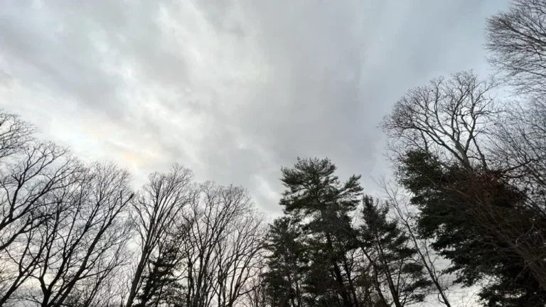
Residents in Collinsville, Oklahoma, reported visible snowfall streaking across roadways, illuminated by headlights and streetlights. The snow appeared light but steady, indicating surface temperatures had dropped enough to support frozen precipitation rather than rain.
While accumulations remained limited, the snowfall was noticeable enough to affect visibility, particularly for drivers traveling after sunset.
Cold Air at the Surface Creating a Favorable Snow Setup
Meteorologists indicate the snowfall is being driven by a shallow but persistent cold air mass settling near the surface. As remaining moisture in the lower atmosphere interacted with this colder air, conditions became favorable for light snow development, especially during nighttime cooling. This type of setup frequently produces brief but impactful winter weather, even without significant accumulation.
Slick Road Conditions Possible Despite Light Accumulation
Even small amounts of snow can lead to slick travel conditions, particularly on bridges, overpasses, and untreated roads. Snow observed in Collinsville was falling steadily enough to coat windshields and pavement, increasing the risk of isolated slick spots overnight as temperatures continue to decline. Drivers are advised to slow down and use caution, especially during early morning travel hours.
Snow Signals a Broader Shift Toward Colder Winter Weather
This snowfall highlights a broader transition toward colder winter conditions across northeastern Oklahoma. While widespread heavy snow is not expected, the presence of snowfall confirms that cold air is firmly established, increasing the potential for additional wintry precipitation in the coming days.
Forecast trends will continue to be monitored as the pattern evolves. If you’re seeing snow, slick roads, or changing conditions in your area, share your experience with us and stay informed with continuing coverage from SaludaStandard-Sentinel.com.