La Niña Expected to Shape Winter 2025–2026 in Northeast Wisconsin — But Effects May Be Limited
GREEN BAY, Wis. — The National Oceanic and Atmospheric Administration (NOAA) has confirmed that La Niña conditions have officially developed in the eastern Pacific Ocean, marking a likely influence on the Winter 2025–2026 season — though forecasters say Northeast Wisconsin may not feel strong impacts from the pattern this year.
La Niña Returns — But Weakly
According to FOX 11 Weather, September sea surface temperature data revealed a distinct band of cooler-than-average waters stretching across the equatorial Pacific, signaling a new La Niña phase.
The event is expected to remain weak and could fade by February, limiting its overall effect on the Midwest’s winter climate.
“La Niña is essentially the opposite of El Niño,” forecasters explained. “It happens when stronger trade winds push warm surface waters west, allowing cooler water to rise from below. That shift alters the jet stream, which in turn changes U.S. weather patterns.”
How La Niña Shapes U.S. Winters
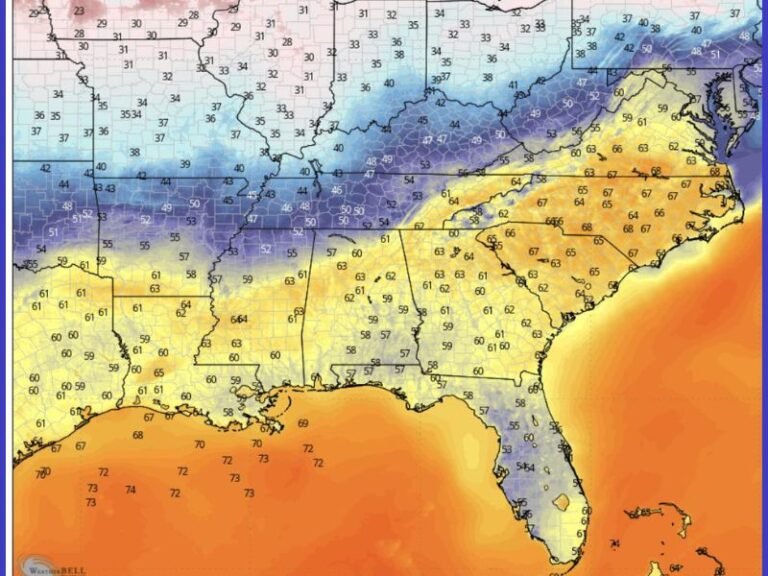
La Niña winters often bring stormier conditions to the northern U.S. while leaving southern regions warmer and drier. In the Great Lakes and Upper Midwest, La Niña historically tilts toward above-average snowfall, thanks to an active polar jet stream and frequent low-pressure systems crossing the region.
However, forecasters stress that this year’s weak La Niña may not fit that classic pattern. The Pacific jet stream is expected to weaken as it approaches North America, introducing more variability rather than consistent cold or wet weather.
Wisconsin on the Edge of La Niña’s Influence
NOAA’s data shows Northeast Wisconsin sits on the dividing line between areas that typically see snowier-than-normal winters and those with little change at all.
“We’re in an odd spot,” meteorologists noted. “In weak La Niña years, Wisconsin doesn’t show a strong correlation toward wetter or colder winters. We’re right on the cusp — meaning outcomes could go either way.”
Maps plotting snowfall anomalies from past weak La Niña years show no clear trend for the Green Bay region, leaving this season’s forecast uncertain.
A ‘Wait and See’ Winter
While other parts of the Great Lakes could see slightly above-average snow totals, forecasters say Northeast Wisconsin’s outlook remains unclear. Residents may experience normal winter conditions, with periodic cold snaps and snow events typical of the region.
Meteorologists emphasize patience as patterns evolve: “It’s one of those years where we’ll just have to wait and see — everyone’s favorite answer when it comes to Wisconsin weather.”
Residents can monitor ongoing updates and NOAA’s monthly ENSO advisories for new data on how La Niña continues to shape the winter season.
Stay updated on Midwest and national weather trends at SaludaStandard-Sentinel.com.