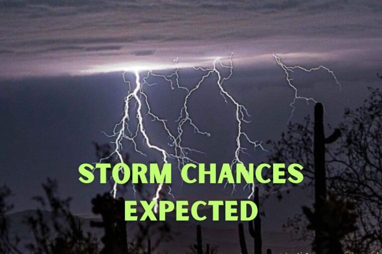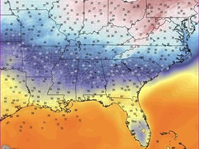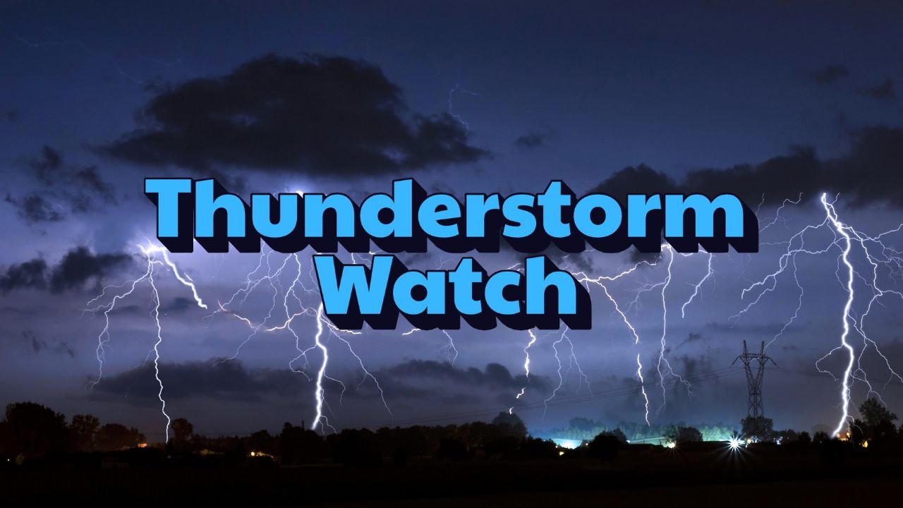
Kansas–Western Missouri Weather Alert: Severe Thunderstorm Watch in Effect Until 11 p.m.
WICHITA, Kan. — Strong thunderstorms are sweeping across Kansas and western Missouri, prompting a Severe Thunderstorm Watch through 11 p.m. Wednesday, according to the National Weather Service Storm Prediction Center.
Storm Threats Across the Region
The storms could produce hail, wind gusts up to 70 mph, and dangerous lightning across dozens of counties. Forecasters say the I-35 and I-49 corridors face the greatest risk for severe development into the night.
Counties under the watch include Sedgwick, Butler, Miami, and Linn in Kansas, and Cass, Bates, Barton, and Vernon in Missouri.
Travel and Safety Concerns
Emergency managers warn that scattered power outages are possible if strong winds bring down trees or power lines.
Drivers along U.S. 54 and U.S. 400 should prepare for reduced visibility and ponding during heavy downpours. Officials also urge residents to postpone outdoor activities and keep multiple ways to receive warnings as the storms move through.
“Even isolated storms tonight can be dangerous. Stay alert and take shelter if warnings are issued,” forecasters said.
Outlook Beyond Tonight
The severe weather threat is expected to ease after 11 p.m., but additional rounds of showers and thunderstorms are possible Thursday, keeping the region unsettled.
Do you think Kansas and Missouri should expand early warning systems to better alert rural communities during late-night severe storms? Share your views at SaludaStandard-Sentinel.com.