Indiana Weather Alert: Dense Fog and Thunderstorms Pose Risks for Indianapolis Roads
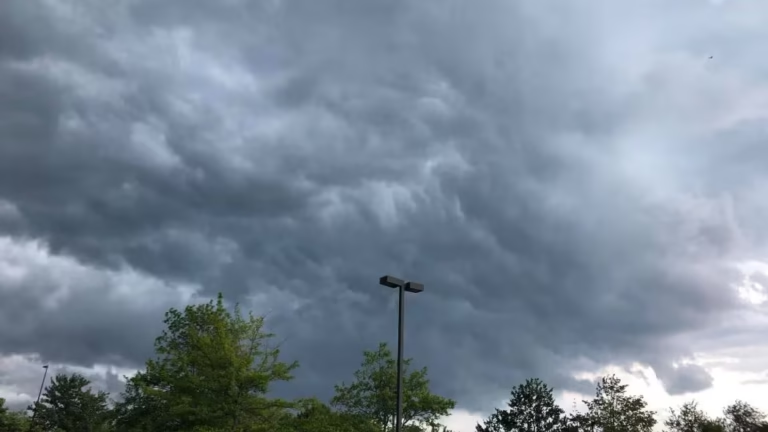
INDIANAPOLIS, IN — Drivers across central Indiana are facing hazardous conditions as dense fog and thunderstorms create dangerous travel scenarios from Tuesday morning into Wednesday.
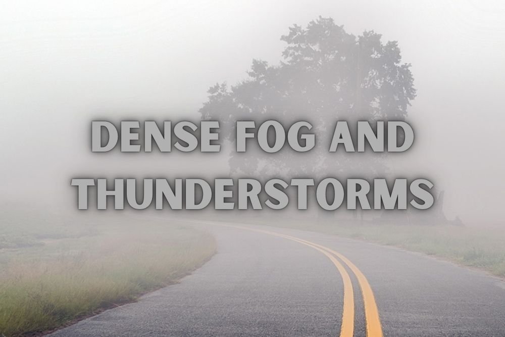
The National Weather Service in Indianapolis extended a Dense Fog Advisory after visibility dropped to less than a quarter mile on major highways, including I-70 and I-65.
Morning Fog Reduces Visibility
Commuters Tuesday morning experienced stretches of near-zero visibility through 9 a.m. Motorists were urged to reduce speed, use headlights, and leave extra distance between vehicles.
While low clouds were expected to break into partial sunshine later in the day, conditions were forecast to worsen again overnight.
Thunderstorms Return Tuesday Night
By Tuesday evening, rain and thunderstorms were expected to return to central Indiana, with an 80% chance of storms carrying gusty winds and lightning.
The heaviest rainfall was forecast along southern counties near Bloomington and Columbus, where totals could reach half an inch in localized areas.
Midweek Travel Hazards
Showers and scattered thunderstorms were expected to continue into Wednesday evening, creating slick roads and poor visibility during both morning and evening commutes.
While severe storms were not forecast, heavy downpours could cause ponding on roadways and temporary travel disruptions.
Clearing Ahead by Thursday
Conditions were expected to improve Thursday afternoon, with drier and cooler air moving in. Sunshine should return by the weekend, bringing highs near 80°F and a more pleasant start to fall across central Indiana.
Have you had to commute in Indiana’s dense fog or sudden downpours this week? Share your travel experiences in the comments on SaludaStandard-Sentinel.com.