Indiana Faces Damaging Winds, Flash Flooding and Rapid Temperature Crash as Severe Weather Threat Builds Sunday
INDIANA — A powerful storm system is expected to sweep across the state Sunday evening, bringing damaging wind gusts, heavy rain, localized flooding, and a potential flash freeze early Monday. The severe threat marks an abrupt end to the warm, calm weather that lingered through Christmas.
Severe Weather Risk Covers Nearly All of Indiana
Nearly the entire state has been placed under a Marginal Risk for severe storms based on the latest forecasts. While a slim portion of northern Indiana sits outside the highest zone, most Hoosiers should expect strong and disruptive weather. Thunderstorms ahead of the cold front may produce isolated damaging wind gusts, and although tornado risk remains low, the threat of hazardous winds and rapid changes is significant across central and southern Indiana.
Warm, Foggy Weekend Gives Way to Sudden Temperature Drop
Much of Indiana remains unseasonably warm, foggy, and damp through Sunday afternoon, with highs in the upper 50s to low 70s. Forecasters warn that this warmth will collapse quickly. Temperatures are expected to plunge nearly 40 degrees within hours of the front’s arrival. Overnight lows into Monday may fall into the mid-20s, heightening the risk of flash freezing on wet roads and sidewalks.
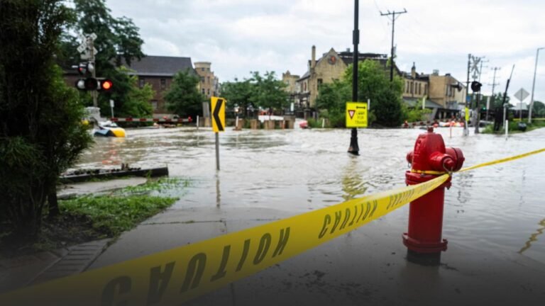
Heavy Rain and Flooding Concerns Ahead of the Front
Scattered showers and storms will sweep the state Sunday evening. The combination of warm air and gusty winds could produce localized flooding, particularly in low-lying areas. Forecast graphics show that once the cold front passes, rain may shift rapidly into snow showers early Monday, creating slippery travel conditions as surfaces freeze quickly.
Northern Indiana Could See a Brief Mix of Freezing Rain and Snow
Behind the front, northern parts of the state may experience a brief period of freezing rain or a rain-to-snow transition. Most models show light snow accumulations, but forecasters caution that lake-effect snow could linger into New Year’s week for communities along Lake Michigan. Even southern regions such as Evansville may face some of the most unstable and severe conditions as the system pushes through.
Holiday Decorations and Loose Items Should Be Secured
With strong wind gusts expected, residents are urged to secure Christmas decorations, inflatables, and other outdoor items. Forecasters warn that these winds could turn loose items into hazards. The combination of unusual warmth, a sharp temperature crash, and potentially damaging winds makes this one of the most impactful weather events since Christmas weekend.
Communities Urged to Stay Alert Through Monday Morning
Meteorologists advise Hoosiers to monitor updates, limit unnecessary travel during peak wind and rain, and use caution Monday morning when temperatures fall below freezing. The rapid shift from rain to ice may lead to slippery roads, reduced visibility, and potential power outages in some areas.
Residents across Indiana are encouraged to share their storm impacts and stay connected with SaludaStandard-Sentinel.com for continuing coverage and community updates.