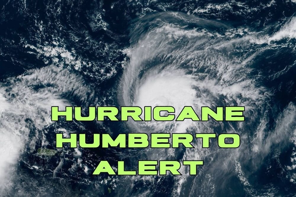
Hurricane Humberto Strengthens Into Category 4 Major Storm in the Atlantic
MIAMI, Fla. — Hurricane Humberto has rapidly intensified into a Category 4 major storm, with forecasters warning that it could continue to strengthen as it churns westward across the central Atlantic.
Humberto’s Strength and Location
As of Friday evening, the National Hurricane Center (NHC) reported Humberto was located about 390 miles northeast of the northern Leeward Islands, moving west at 7 mph with maximum sustained winds of 145 mph.
Tropical-storm-force winds extend up to 105 miles from the center, while hurricane-force winds reach out 25 miles.
The NHC said, “Rapid strengthening should continue over the central Atlantic,” adding that Humberto is now the eighth named storm of the 2025 Atlantic hurricane season.
No U.S. Warnings Yet
As of Friday night, no coastal watches or warnings had been issued for the U.S. mainland. However, forecasters cautioned that Humberto could bring downstream impacts along the Southeast coast, from Florida to North Carolina, depending on its eventual track.
Another System Brewing
Meteorologists are also tracking a second storm system in the northeast Caribbean, which is expected to become a tropical depression Saturday, a tropical storm by Sunday, and possibly a hurricane by late Monday.
This system could bring up to 16 inches of rain in Cuba and 8 inches in the Bahamas, with impacts possible along the southeastern U.S. coast early next week.
Rare Storm Interaction?
While not considered likely, there is a chance Humberto could interact with the second system in a Fujiwhara effect, where two storms spin around one another or even merge. Such interactions are rare but can make forecasting storm paths more complex.
Residents Urged to Monitor Forecasts
Forecasters advise residents along the East Coast and in the Caribbean to monitor updates closely over the weekend. Even if Humberto does not make direct landfall, dangerous surf, rip currents, and heavy rain bands could still impact coastal communities.
Have you begun preparing for potential storm impacts in your area? Share your readiness tips in the comments on SaludaStandard-Sentinel.com.