Heavy Rain and Flood Risk Increasing from Del Rio to Dallas-Fort Worth Overnight
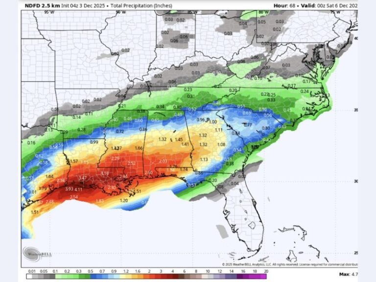
TEXAS — Forecasters are warning of increasing flood risks across parts of Central and North Texas as a developing storm system brings a corridor of heavy rain overnight. The setup, which extends from Del Rio through the DFW Metro, could result in several inches of rainfall before Thursday morning.
High-resolution weather models indicate an axis of intense rain and thunderstorms forming late Wednesday, continuing overnight into Thursday as storms “train” repeatedly over the same areas.
Flooding Threat from Central to North Texas
Meteorologists say the greatest risk of flooding will occur from Del Rio to Brownwood, Waco, and the Dallas-Fort Worth Metroplex, where multiple rounds of heavy rain could quickly overwhelm drainage systems.
“Hi-res guidance is showing an axis of heavy rain setting up late this evening and overnight,” forecasters said. “Flooding is possible, especially from Del Rio to DFW.”
Some spots could see 2 to 4 inches of rain, with isolated higher amounts where storms repeatedly pass.
Flood Risk Extends Beyond Texas
The system could also push into southeastern Oklahoma and southwestern Arkansas, where rain and thunderstorms will persist through early Thursday.
Forecasters caution that the rainfall may occur over already saturated ground, increasing the likelihood of flash flooding in low-lying areas, small creeks, and urban locations.
Communities in the Flood Zone
Areas most at risk from this developing line of storms include:
- Del Rio
- Brownwood
- Waco
- Cleburne
- Dallas-Fort Worth Metroplex
- McKinney and Sherman
- Southeastern Oklahoma and Southwest Arkansas
While widespread severe weather is not anticipated, heavy downpours could create dangerous travel conditions during the late evening and overnight hours.
What Residents Should Know
The National Weather Service urges residents to remain alert for flood advisories or warnings, especially those living near rivers, creeks, and flood-prone roads.
Safety tips include:
- Never drive through flooded roadways — “Turn around, don’t drown.”
- Avoid parking near streams or low-lying areas overnight.
- Have multiple ways to receive weather alerts, including phone apps and NOAA Weather Radio.
Rain Tapers by Thursday Afternoon
The heaviest rainfall is expected to persist into early Thursday before gradually shifting eastward. However, additional showers may linger through the morning hours across the DFW Metroplex and northeastern Texas.
Meteorologists will continue monitoring the storm’s evolution as rainfall coverage expands overnight.
For real-time weather updates and flood alerts across the South and Midwest, visit SaludaStandard-Sentinel.com.