Georgia Winter Forecasts Remain Uncertain as Cold Air Wedges and Storm Track Shifts Complicate Snow Predictions
GEORGIA — Forecasting winter weather across North Georgia remains one of the most challenging tasks for meteorologists, as even small atmospheric shifts can drastically change outcomes from snow to ice or plain rain.
Meteorologists say the region’s geography and position between climate zones make it especially difficult to predict winter precipitation accurately. Unlike northern states where cold air is often deep and well-established, Georgia relies on a rare alignment of multiple atmospheric factors that do not always cooperate.
Why Georgia Sits on a Forecasting Fault Line
Georgia lies at the boundary between cold continental air from the north and warm, moisture-rich air from the Gulf of Mexico. This positioning means winter storms often develop in close proximity to sharp temperature contrasts.
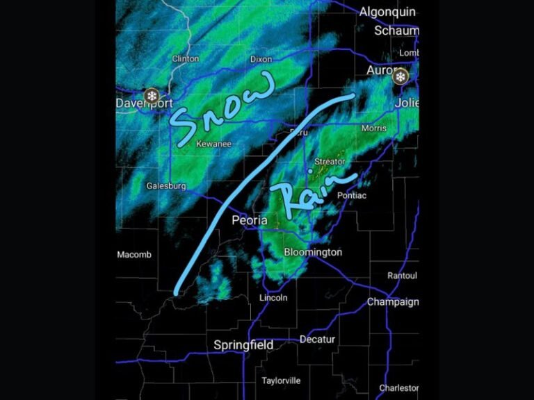
A storm track shifting as little as 25 to 50 miles can determine whether metro Atlanta sees several inches of snow or a mild, dry day. Because the freezing line frequently hovers near major corridors like I-20 and I-85, forecasters must account for extremely tight margins where minor errors lead to vastly different impacts.
The Cold Air Wedge That Changes Everything
One of the biggest complicating factors is Cold Air Damming, often referred to as the “wedge.” This occurs when dense, cold air from the Northeast becomes trapped against the eastern slopes of the Appalachian Mountains and pushes southwestward into North Georgia.
This cold air layer is usually shallow — sometimes only a few thousand feet thick. Surface temperatures may sit near freezing, while temperatures just a mile above the ground rise well above that mark. When precipitation falls through this setup, snow can melt into rain aloft before refreezing into sleet or freezing rain closer to the ground. Meteorologists note that a temperature difference of as little as 100 feet in the warm layer can decide whether Georgia experiences picturesque snowfall or a dangerous ice storm.
Moisture and Cold Rarely Arrive Together
Another major forecasting challenge is timing. Arctic air masses reaching Georgia are often extremely dry, while Gulf moisture typically arrives with much warmer air. In many cases, cold air moves in first and exits just as moisture arrives, producing a cold rain. Other times, rain falls early and cold air rushes in after precipitation has ended, leaving behind only brief or “decorative” flurries with little to no accumulation.
Storm Tracks Leave Little Room for Error
Because Georgia sits so far south, winter storm paths must be nearly perfect. Even slight deviations can push the rain-snow line north or south, altering impacts across entire metro areas.
This makes public messaging especially difficult, as forecast confidence can change rapidly in the final 24 hours before a storm. Meteorologists emphasize that these shifts are not forecasting failures but reflections of how narrow Georgia’s winter weather margins truly are. Weather forecasting in the Deep South remains a reminder that in Georgia, winter storms are often decided not by days, but by minutes and miles.
Have you experienced a Georgia winter forecast that changed at the last moment? Share your thoughts or weather memories in the comments and stay connected with SaludaStandard-Sentinel.com for continued local weather coverage.


