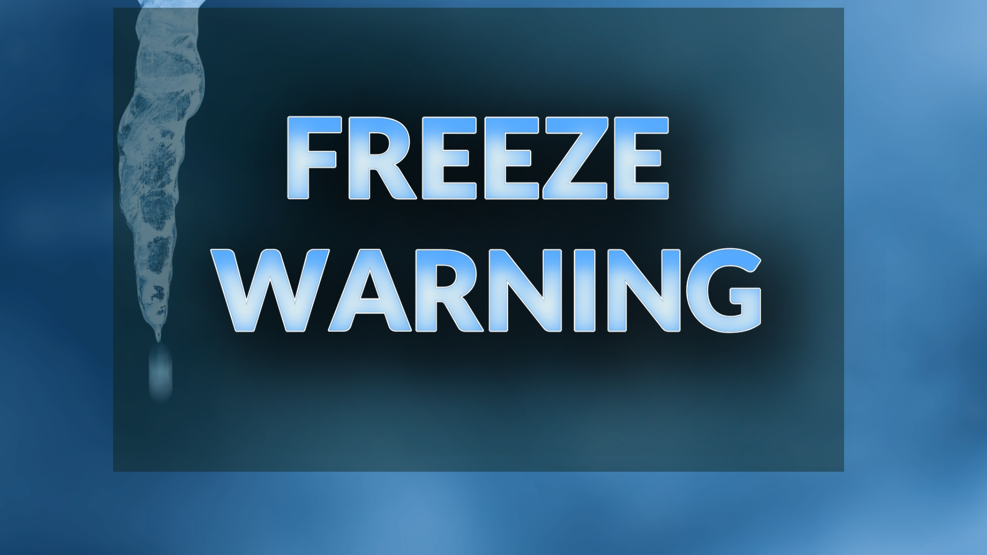
Freeze Warning Issued for Western North Carolina Friday Morning, Says National Weather Service
WESTERN NORTH CAROLINA — The National Weather Service in Greenville-Spartanburg, South Carolina, has issued a freeze warning for multiple counties across Western North Carolina, effective Friday between 2 a.m. and 9 a.m.
The advisory includes Northern Jackson, Caldwell Mountains, Burke Mountains, McDowell Mountains, Madison, Swain, Haywood, Buncombe, Graham, and Macon counties.
Temperatures Expected To Drop Into the 20s
According to the NWS, sub-freezing temperatures as low as 29 degrees are expected in the affected areas. Residents should prepare for cold conditions capable of damaging plants, outdoor plumbing, and other temperature-sensitive items.
“Frost and freeze conditions could kill crops, other sensitive vegetation and possibly damage unprotected outdoor plumbing,” the NWS said. “Take steps now to protect tender plants from the cold. In-ground sprinkler systems should be drained. Remove hoses and cover above-ground pipes.”
Protecting Plants and Outdoor Fixtures
Freeze warnings are typically issued between May and October, though they may extend beyond those months depending on weather conditions. The NWS warns that once temperatures dip into the 29–32°F range, outdoor vegetation faces a high risk of frost damage or death.
Experts recommend bringing potted plants indoors, covering delicate vegetation with frost cloths or blankets, and ensuring outdoor water systems are properly drained and insulated.
Difference Between a Freeze Watch and a Warning
A freeze watch is issued when there is potential for freezing temperatures within a few days, giving residents time to prepare. A freeze warning, like the one now in effect, means sub-freezing temperatures are imminent or already occurring.
For many parts of the Blue Ridge and Smoky Mountains, this will mark one of the first widespread freeze events of the fall season.
Cold Front Signals Start of Late-October Chill
The incoming cold front will continue to push across Western North Carolina through early Friday, ushering in crisp, dry air. Daytime highs are expected to remain cool over the weekend, with overnight lows staying near freezing in mountain valleys.
Residents are encouraged to monitor local forecasts and take precautions, especially in agricultural or rural areas where cold snaps can impact late-harvest crops and irrigation systems.
Have you taken steps to protect your plants or pipes ahead of the cold? Share your preparations or photos from your area at SaludaStandard-Sentinel.com.