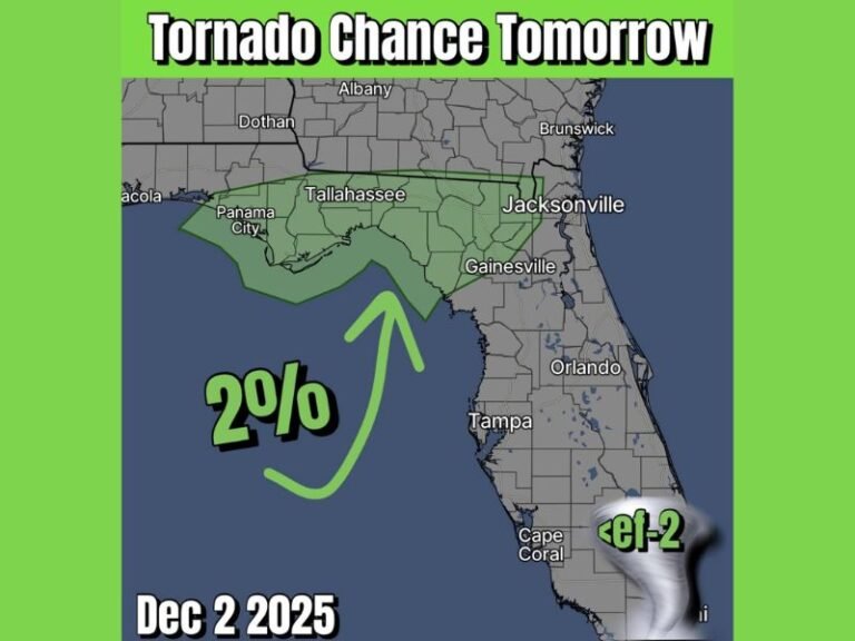
Florida Snowflakes Back in Play as European Model Shows Low-End Accumulation Chance Along Gulf Coast Into Monday Morning
FLORIDA — A rare winter weather signal has re-emerged for parts of Florida as the latest European forecast guidance shows a low but measurable chance of snow accumulation exceeding a tenth of an inch along portions of the Gulf Coast through early Monday morning.
Meteorologists stress that this is not a forecast of widespread snow, but rather an indication that atmospheric conditions may briefly align well enough to allow wintry precipitation in an area where it is almost never seen.
What the New European Model Is Showing
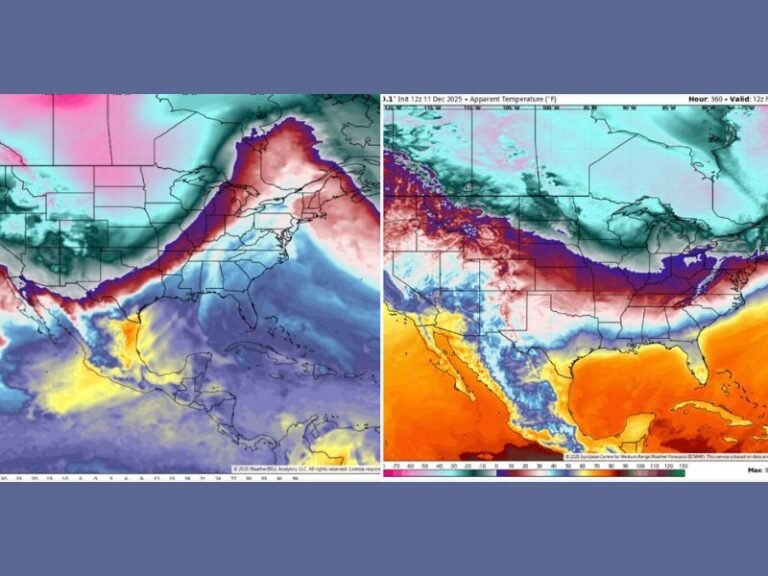
The latest ECMWF ensemble probability data highlights pockets of low-end snow potential brushing Florida’s Gulf Coast, particularly near coastal areas where cold air and moisture could briefly overlap.
The threshold being tracked is modest — just over 0.1 inches of snow — but in Florida, even that signal is noteworthy. The model output suggests probabilities remain low overall, but not zero, which is enough to keep forecasters watching closely.
Why This Signal Matters in Florida
Snow in Florida requires a very specific setup: deep enough cold air, sufficient moisture, and proper timing. The European model’s ensemble approach looks at many possible outcomes, and even a small cluster pointing toward accumulation indicates that the atmosphere may flirt with wintry conditions.
Any snowflakes that do occur would likely be brief, light, and confined to narrow areas, most likely near the immediate Gulf Coast rather than inland communities.
Confidence Remains Low but Notable
Forecasters emphasize that this signal does not guarantee snow. Small shifts in temperature, moisture depth, or wind direction could easily eliminate the chance altogether.
However, the fact that a respected long-range model is showing probabilities at all — especially this close to the event window — makes the setup worth monitoring through the weekend.
Timing Focused on Late Weekend Into Early Monday
The window of interest currently extends through late Sunday night into early Monday morning, when the coldest air is expected to be in place. If moisture remains available during that time, a few flurries or light snow showers could briefly develop.
Even if snow does not materialize, the pattern still favors unusually cold conditions for Florida standards.
What Residents Should Expect
For now, residents should expect cold, brisk weather rather than snow-covered ground. Any wintry precipitation would be more of a novelty than a disruption, with no travel impacts expected at this stage.
Meteorologists say additional model runs over the next 24 to 48 hours will be critical in determining whether this signal strengthens or fades entirely.
Have you ever seen snowflakes in Florida, or are you watching this setup unfold? Share your thoughts and stay updated with continued weather coverage from SaludaStandard-Sentinel.com.