Florida Faces Rare Overnight Snow Threat as Arctic Air and Coastal Bands Bring Flurries to Tampa Bay Region
FLORIDA — A rare winter setup is unfolding across parts of Florida, as powerful Arctic air combines with coastal moisture to create the potential for snow flurries and snow showers in the Tampa Bay region late Saturday night into early Sunday morning — an event that many residents have never witnessed in their lifetime.
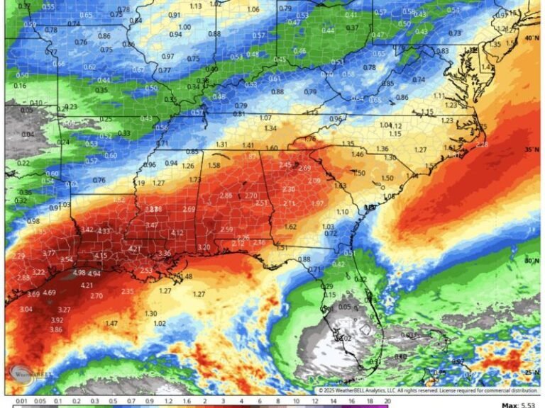
Forecast guidance and high-resolution models suggest that narrow snow bands could move ashore around midnight, briefly dropping flakes across coastal and inland communities as temperatures hover near or just below freezing.
Snow Bands Target Tampa Bay Overnight
According to high-resolution forecast guidance, snow bands are expected to develop Saturday night and continue into early Sunday morning, with the best window for flakes occurring between 12:00 a.m. and 3:00 a.m.
Communities that could see flurries or brief snow showers include:
- Tampa
- St. Petersburg
- Clearwater
- Bradenton
- Ruskin
- New Port Richey
Temperatures during the event are forecast to range from the upper 20s inland to the mid-30s near the coast, cold enough for snowflakes to survive to the surface — even if accumulation remains minimal.
Why Snow Is Even Possible in Florida
This setup is being driven by an unusually cold Arctic air mass plunging deep into the Southeast, combined with strong north-northwest winds pulling moisture off the Gulf of Mexico.
When these elements align just right, brief snow showers can form even in regions that rarely experience winter precipitation, including parts of central and western Florida.
Meteorologists stress that this is not a classic winter storm, but rather a marginal, fast-moving event where timing and temperature will determine whether flakes are visible.
Accumulation Is Unlikely, but Flurries Are Real
While significant snowfall is not expected, the setup supports:
- Flurries or brief snow showers
- No meaningful accumulation
- Possible sleet or graupel mixed in
- Very cold wind chills overnight
Road impacts are expected to be minimal, but bridges and overpasses could briefly approach freezing, especially in inland or elevated areas.
A Rare Moment for Florida Weather History
Snowfall in the Tampa Bay area is extremely rare, with only a handful of documented events over the past century. Even a brief flurry would place this event among the most unusual winter weather moments many residents have ever experienced.
Meteorologists caution that Florida weather often refuses to cooperate perfectly, but emphasize that the ingredients are in place — making this a legitimate, if fleeting, opportunity.
What Residents Should Know Tonight
- Dress for freezing overnight conditions
- Protect pets, plants, and exposed pipes
- Don’t expect accumulation, but don’t be shocked if flakes fall
- Keep expectations realistic, but eyes open
If you happen to catch a flurry, you’ve officially won Florida winter bragging rights.
Stay informed with the latest regional weather updates and breaking forecasts by following SaludaStandard-Sentinel.com, and let us know if you see snow where you live.