East Coast Winter Storm Threat Grows as Models Show Expanding Snow Footprint and Rising Odds of 3+ Inch Accumulations This Weekend
UNITED STATES — A developing winter storm is drawing increased attention across the eastern United States as updated European guidance continues to signal a wider and more impactful snow event late Friday through Saturday, with snow chances and potential totals trending higher across portions of the Southeast, Mid-Atlantic, and southern Appalachians.
Forecast models show a strengthening low-pressure system interacting with an unusually cold Arctic air mass, a combination that favors efficient snowfall and expanding coverage farther west than earlier projections suggested.
Snow Coverage and Totals Are Trending Higher
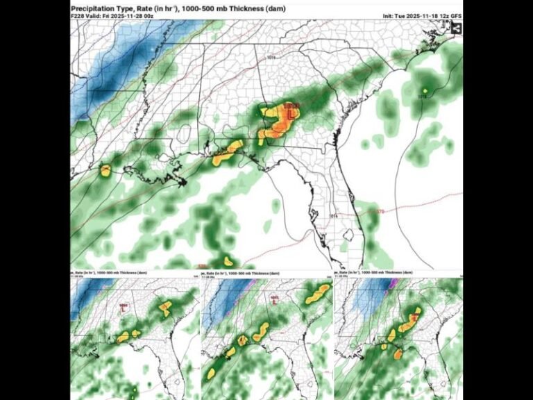
According to ensemble guidance from the European model, the zone of accumulating snow has shifted farther inland as upper-level energy captures the coastal low and pulls it westward. This setup increases the likelihood of meaningful snowfall for more communities that were previously on the edge of the forecast.
Current ensemble averages show roughly a 60% chance of at least 3 inches of snow, with the highest probabilities extending east of Interstate 77 from the Carolinas northward, where some locations show probabilities closer to 80%.
Timing: Late Friday Evening Through Saturday
Snow is most likely to begin late Friday evening and continue through much of Saturday rather than ending early as earlier forecasts indicated. The slower progression of the system raises concerns for longer-lasting impacts, especially during overnight and early morning travel periods.
Cold air already in place will allow snow to accumulate quickly once precipitation begins.
Why This Setup Favors Efficient Accumulation
This is not a typical marginal winter storm. Temperatures are expected to remain in the low to mid-20s, supporting snow ratios closer to 15:1 instead of the usual 8:1, meaning lighter, fluffier snow that piles up more efficiently even with modest liquid amounts.
Frozen ground conditions further increase the likelihood that snow will stick immediately to roads, bridges, and sidewalks.
Track of the Low Remains the Key Variable
Forecasters stress that small shifts east or west in the storm track could still significantly alter snowfall totals on a local level. While confidence is growing, the system remains several days out, and refinements are expected as newer model runs arrive.
Guidance also carries a known southeast bias, meaning the system could track closer to the coast than currently modeled — something meteorologists are watching closely.
Travel Impacts Are the Primary Concern
At this time, the event appears to be snow-only, with limited ice risk. However, lingering cold air could keep roads icy even after snowfall ends, particularly on secondary roads and in shaded areas.
Power outage risk remains low, but travel disruptions could be significant where heavier snow bands set up.
What Happens Next
Confidence is expected to increase over the next 24 to 48 hours as the storm enters a higher-resolution forecast window. Residents across affected areas are encouraged to monitor updates and prepare for changing winter conditions heading into the weekend.
Saluda Standard-Sentinel will continue tracking this system closely and provide updated coverage as new data becomes available.
What do you think — will this storm continue trending west, or does the coastal track still win out? Share your thoughts and stay connected with SaludaStandard-Sentinel.com for the latest winter weather updates.