Cold Front Extends From Texas to the Northeast Bringing Heavy Rain, Snow Over Great Lakes and Wintry Mix in Northeast States
UNITED STATES — A powerful cold front stretching from Texas to the Northeast is sweeping across the eastern half of the United States this Sunday, bringing a mix of heavy rain, strong winds, and snow across multiple states.
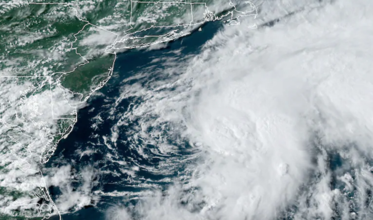
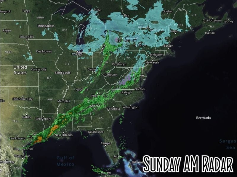
Radar imagery this morning shows a solid frontal line of storms and showers reaching from Houston and New Orleans all the way up through Pittsburgh, Detroit, and into New England, signaling the widespread impact of the system.
Rain Extends Across the South
The front’s southern reach is marked by steady rainfall across Texas, Louisiana, and Mississippi, with scattered thunderstorms developing near the Gulf Coast.
Areas around Houston, Shreveport, and New Orleans are experiencing the heaviest rainfall, with localized downpours likely through the afternoon before the front weakens as it approaches the Florida Panhandle and Northeast Gulf Coast tonight.
Meteorologists note that as the boundary pushes eastward, rain will gradually fizzle out overnight, bringing clearer skies by early Monday for most of the southern states.
Snow and Ice in the Great Lakes and Northeast
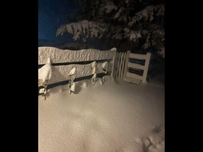
Farther north, snow continues to spin across the Great Lakes region, affecting parts of Michigan, Wisconsin, Ohio, and western Pennsylvania. Cities like Detroit, Cleveland, and Buffalo are seeing steady snow with occasional bursts of heavier flakes.
The National Weather Service reports ongoing lake-effect snow bands centered over the Great Lakes, with accumulation expected through Sunday night.
“This front is delivering classic late-November weather — rain to the south, snow to the north, and a brisk temperature drop behind it,” meteorologist Mike Boylan of Spaghetti Models said in his morning update.
In the Northeast, snow is spreading into upstate New York, Vermont, and Maine, while a light wintry mix is being observed around Washington, D.C., Philadelphia, and New York City as warmer air briefly lifts north.
Temperature Drop Behind the Front
Behind the cold front, temperatures are expected to fall sharply. Many areas across the Midwest and southern Plains are already seeing 20–30°F drops compared to Saturday’s highs.
The chilly air mass will continue moving east, ushering in overnight lows in the 20s and 30s across much of the central and eastern United States by Monday morning.
Travel Impacts and Safety Advisory
Drivers across affected regions are urged to use caution, particularly in areas north of the Ohio Valley where snow and slushy road conditions could cause hazards.
Air travelers should also be prepared for delays in major Midwest hubs, including Chicago O’Hare, Detroit Metro, and Cleveland Hopkins.
Looking Ahead
As the system weakens later tonight, the front will exit the East Coast by Monday morning, leaving behind breezy, colder conditions for the workweek ahead.
However, another disturbance could develop midweek, potentially bringing additional rain across the South and light snow chances for parts of the Midwest and Northeast.
Stay weather-aware and follow real-time updates on SaludaStandard-Sentinel.com as the cold front continues to track across the eastern U.S.