Clipper System to Bring 2–4 Inches of Snow Across Iowa, Illinois, South Dakota, Minnesota, and Nebraska on December 13
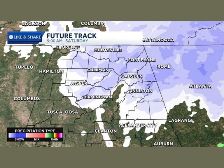
UNITED STATES — A fast-moving clipper system is forecast to sweep across Iowa, Illinois, South Dakota, Minnesota, and Nebraska on Saturday, December 13, producing a swath of accumulating snow from the High Plains and Midwest into the Ohio Valley. Meteorologists expect a quick but efficient snowfall event beginning early Saturday morning and tapering off by late afternoon and evening.
Snow Begins Early Saturday as Shortwave Trough Moves Into the Midwest
A developing shortwave trough will curve southeastward from the High Plains into the Midwest, with snow expected to overspread the region beginning around 7 a.m. Saturday. Despite total liquid precipitation remaining light at 0.10–0.25 inches, the presence of a cold dendritic growth zone will allow for efficient snow production, with snow ratios likely exceeding 15:1.
This enhancement will help boost accumulation totals even with limited moisture.
Widespread 2–4 Inches Expected, With Locally Higher Totals
Forecast guidance supports a widespread 2–4 inches of snow extending from the Dakotas southeastward through Iowa and Illinois.
Localized higher totals of up to 5 inches are possible across far southeast Iowa into central Illinois, where mid-level frontogenesis may strengthen narrow snow bands.
Areas farther north, where dry air intrudes more aggressively, will see a sharper cutoff in accumulation, with some locations receiving a trace to 2 inches.
Travel Impacts Likely Across the Region
The Iowa Storm Center’s latest graphics show the heaviest snow axis stretching from Sioux City through Ames, Des Moines, Cedar Rapids, and Davenport, with additional impacts across eastern Nebraska, southern Minnesota, and northwest Illinois.
Snow intensity projections indicate enhanced snowfall rates along the core of the clipper track, raising the likelihood of travel disruptions for several hours on Saturday.
Motorists can expect:
Reduced visibility,
Snow-covered roads, and
Localized blowing snow, particularly in open rural areas.
Snow Ends From West to East by Saturday Evening
All activity is expected to taper gradually from west to east during the late afternoon and evening as the system exits into the Ohio Valley. Behind the clipper, colder air will briefly reinforce temperatures before moderating into early next week.
Residents observing snowfall totals or early morning impacts are encouraged to share updates with the community at SaludaStandard-Sentinel.com.


