Chicago, Milwaukee, and South Bend Brace for Intense Snowband with Blizzard Conditions and Thundersnow
CHICAGO, Ill. — A powerful lake-effect snowband is developing off Lake Michigan Sunday night, threatening parts of Chicago, Milwaukee, and South Bend with intense snowfall rates, strong winds, and near-blizzard conditions, meteorologists warn.
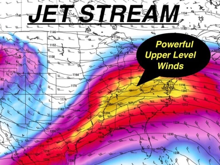
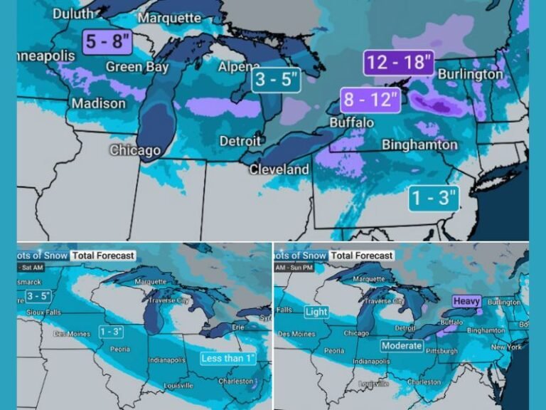
The system, described as a “dynamical setup” by forecasters, could produce snowfall rates of 3–6 inches per hour, creating extremely hazardous travel conditions across northern Illinois, southeastern Wisconsin, and northwest Indiana overnight.
Heavy Snow and Thundersnow Expected
According to meteorologists, the snowband will intensify late Sunday and persist through early Monday, bringing thundersnow, lightning, and rapid snow accumulation. Winds gusting up to 35–40 mph will further reduce visibility, making travel nearly impossible at times.
“This is not your average lake-effect snow event,” forecasters cautioned. “We’re looking at snowfall rates that could approach half a foot per hour in localized bands.”
The heaviest snow is expected along the Lake Michigan shoreline and inland communities, including Evanston, Schaumburg, Aurora, Joliet, Waukegan, and Kenosha. In Wisconsin, Milwaukee and Delavan could also experience periods of whiteout conditions through Monday morning.
Dangerous Travel Conditions Overnight
Officials are warning residents to avoid travel if possible as roadways will quickly become impassable under the intense snowfall. The National Weather Service advises motorists to keep emergency supplies in their vehicles, including blankets, flashlights, and extra fuel.
Drivers are also urged to check local forecasts and road closures before heading out, as visibility could drop to near zero during the peak of the snowband.
Impacts Across the Region
Air travel through O’Hare and Midway International Airports may experience delays and cancellations, while regional airports in Milwaukee and South Bend are also preparing for disruptions.
Snowfall totals across the region could vary sharply depending on where the strongest snowband stalls, with some neighborhoods seeing over a foot of snow while others nearby receive only a few inches.
Cold Air to Follow the Storm
Once the snowband weakens Monday afternoon, Arctic air will settle into the region, keeping temperatures in the teens and 20s through Tuesday with windchills dipping into the single digits.
Residents are urged to bundle up, stay indoors when possible, and keep pets and outdoor pipes protected.
For live storm coverage and regional weather updates, visit SaludaStandard-Sentinel.com.