Charlotte, NC Weather Alert: Thunderstorm Chances Return Monday Night, Heat Index Hits 101 Earlier in the Day
CHARLOTTE, NC — A sweltering start to the new week will impact residents across central North Carolina, as temperatures in Charlotte are forecast to reach 92°F on Monday with heat index values peaking at 101°F by the afternoon.
Evening Storms Expected Monday into Tuesday
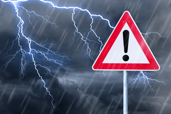
The National Weather Service in Greenville-Spartanburg has issued an advisory noting that showers and thunderstorms will likely develop between 7 p.m. Monday and 2 a.m. Tuesday, bringing heavy rain and lightning across Mecklenburg County and nearby areas.
Late-night commuters on Interstates 85 and 77 should be cautious of slick roads and sudden visibility drops. Residents in Concord, Gastonia, and Rock Hill may hear thunder rumbling through the early morning hours.
Midweek Temperature Shift Expected
Though Monday will be dangerously hot, Tuesday will cool slightly to the mid-80s, with more storms possible through the evening. By Wednesday, drier air will help ease conditions, bringing sunshine and temperatures around 87°F.
Forecasts show storm chances may return Thursday, with another system bringing increased humidity and potential rainfall before conditions calm by Friday.
Stay Weather-Ready
With the heat index soaring, officials recommend limiting outdoor activity, especially during peak heat hours. Keep mobile devices charged in anticipation of possible power outages tied to thunderstorms.
Charlotte’s 5-Day Weather Forecast
- Monday: Sunny and hot. High 92°F, heat index up to 101°F. Thunderstorms likely after 7 p.m.
- Tuesday: Partly sunny, high near 85°F. Showers and storms in the evening.
- Wednesday: Mostly sunny, high around 87°F. Overnight low near 71°F.
- Thursday: 50% chance of thunderstorms, high around 87°F.
- Friday: Mostly cloudy, high near 83°F. Rain chances at 60%.
Stay safe and prepared as the week unfolds. For more weather alerts and community updates, visit SaludaStandard-Sentinel.com.